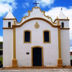
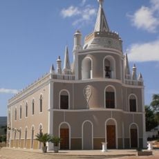
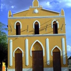
Cabrobó, Municipality in Pernambuco, Brazil
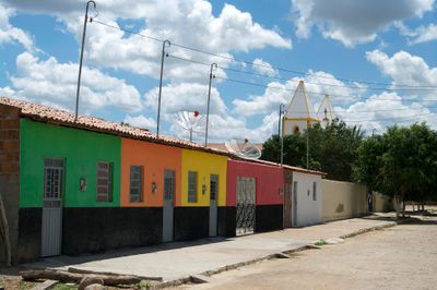
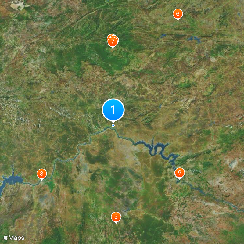
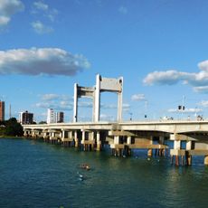
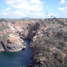
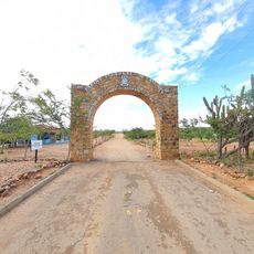
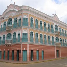
Cabrobó is a municipality in northeastern Brazil located in Pernambuco state, spanning a sizable area with distinct geographic features. The region is shaped by its terrain and the presence of a major river system.
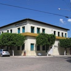
The municipality gained its administrative status in 1928, marking a key shift in how Pernambuco state was organized. This change established Cabrobó as an independent administrative unit in the region.
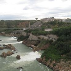
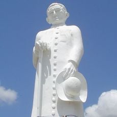
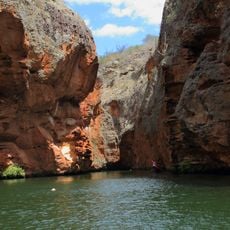
The Truká people live on the Ilha da Assunção islands and keep their ancestral traditions alive in daily life. Their presence shapes how the community connects to the land and river.
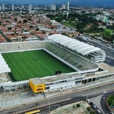
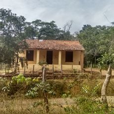
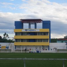
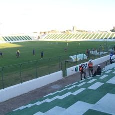
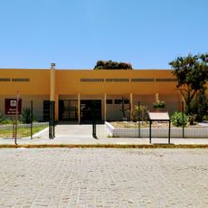
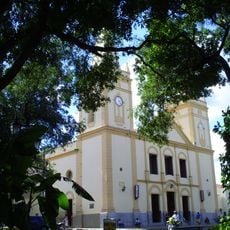
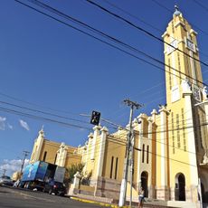
The municipality offers basic services related to agriculture, education, health, and local infrastructure for visitors and residents. The dry season provides the easiest access to explore the area and its surroundings.
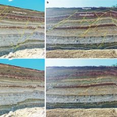
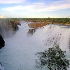
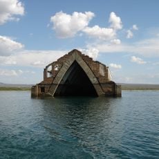
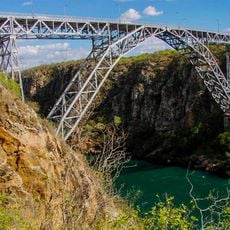
The São Francisco River creates natural island chains along the southern border with striking landscape formations. These waterways produce rare geographic patterns within the semi-arid region.
Location: Pernambuco
Elevation above the sea: 385 m
Shares border with: Terra Nova, Abaré, Belém de São Francisco, Curaçá, Orocó, Parnamirim, Salgueiro
Website: http://cabrobo.pe.gov.br
GPS coordinates: -8.51194,-39.30694
Latest update: December 20, 2025 15:14
Paulo Afonso Hydroelectric Complex
156.4 km
Bendegó meteorite
178.7 km
Statue of Father Cícero
148.3 km
Santana Formation
146 km
Vale dos Dinossauros
228.2 km
Estádio Mauro Sampaio
143.4 km
Ponte Presidente Dutra
165 km
Paulo Afonso Falls
156.4 km
Floresta Nacional do Araripe-Apodi
136.1 km
Rio São Francisco Natural Monument
181.7 km
Canyon of Xingo
185.1 km
Estádio Cornélio de Barros
52.8 km
Estádio Antônio Mariz
229.1 km
Usina Hidrelétrica de Angiquinho
156.7 km
Museu de Paleontologia da Universidade Regional do Cariri
155 km
Museu do Sertão
163.7 km
BINGO
199.4 km
Catedral de Nossa Senhora da Penha da França de Crato
142.7 km
Canudos State Park
160.2 km
Igreja de Nossa Senhora do Rosário
81.9 km
Igreja do Rosário de Barbalha
133.5 km
Fundação Museu Regional Do São Francisco
166.6 km
Serra Branca / Raso da Catarina Environmental Protection Area
178.8 km
Igreja Santo Antônio de Pádua
169 km
Cine Teatro Guarany
152.2 km
Catedral de Nossa Senhora da Piedade
198.9 km
Old Petrolandia Church
127.9 km
Ponte Metálica Dom Pedro II
158.4 kmVisited this place? Tap the stars to rate it and share your experience / photos with the community! Try now! You can cancel it anytime.
Discover hidden gems everywhere you go!
From secret cafés to breathtaking viewpoints, skip the crowded tourist spots and find places that match your style. Our app makes it easy with voice search, smart filtering, route optimization, and insider tips from travelers worldwide. Download now for the complete mobile experience.
A unique approach to discovering new places❞
— Le Figaro
All the places worth exploring❞
— France Info
A tailor-made excursion in just a few clicks❞
— 20 Minutes