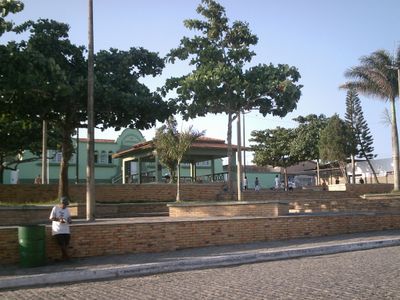
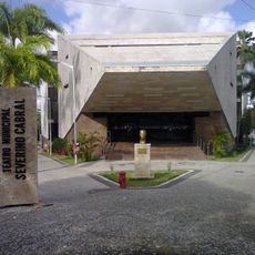
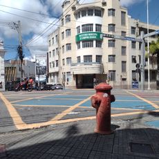
Esperança, Municipality in Paraíba, Brazil
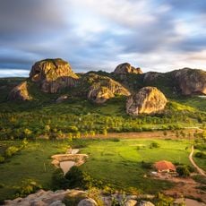
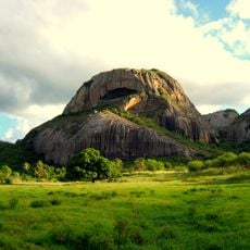
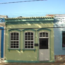
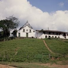
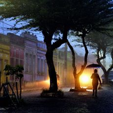
Esperança is a municipality in Paraíba located in the elevated interior of northeastern Brazil. The town sits higher than surrounding areas, surrounded by the rural landscape that characterizes this part of the state.
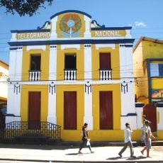
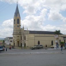
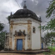
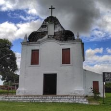
The town developed as part of Portuguese colonization in Paraíba that began in the early 1500s for sugarcane production. Like other settlements in the region, it grew into a local center serving the surrounding rural population.
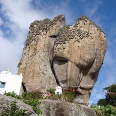
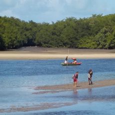
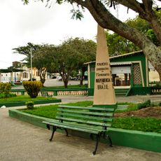
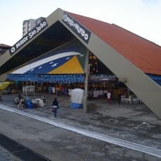
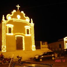
The town maintains traditions rooted in northeastern Brazilian life through local festivals and community gatherings that shape daily rhythm. The way people celebrate together reflects their strong ties to the region.
The town sits inland and requires travel by vehicle from larger cities in the region, as public transport is limited. Visiting during local festivals offers the best experience, when community life is most active and engaging.
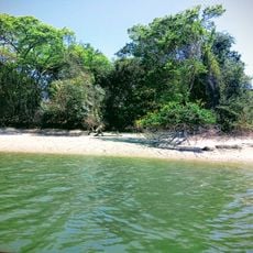
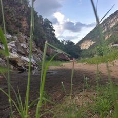
The higher elevation creates cooler temperatures compared to coastal areas of Paraíba, offering visitors a noticeable climate contrast within the state. This elevation difference also shapes which plants grow there and how the landscape looks.
Location: Paraíba
Elevation above the sea: 631 m
Shares border with: Algodão de Jandaíra, São Sebastião de Lagoa de Roça, Alagoa Nova, Areia, Areial, Montadas, Pocinhos, Remígio
GPS coordinates: -7.03333,-35.85000
Latest update: December 7, 2025 20:21
Ingá Stone
43.7 km
Saint Rita of Cascia statue
90.4 km
Açude Velho
21.6 km
Sanctuary of Frei Damiao
45.2 km
Museum of Popular Arts of Paraíba
21.5 km
Pedra da Boca State Park
67 km
Pedra da Boca
67.1 km
Pedra de Santo Antônio
34.9 km
Severino Cabral Municipal Theatre
21.3 km
Estádio Renato Cunha Lima
21.5 km
Assis Chateaubriand Museum of Art
21.3 km
Historical and Geographic museum of Campina Grande
20.9 km
Museu do Algodão
22.2 km
Museum of Pedro Américo's House
17.6 km
Barra do Rio Mamanguape Environmental Protection Area
98.9 km
Apertados Canyon
104.9 km
Área de Relevante Interesse Ecológica Manguezais da Foz do Rio Mamanguape
98.9 km
Centro Histórico de Alagoa Grande
24 km
Centro Histórico de Bananeiras
39.1 km
Parque do Povo
21.6 km
Church of Our Lady of the Rosary
109.5 km
Cinesercla Campina Grande
22.6 km
Igreja Matriz de Nossa Senhora da Piedade (Arara)
25 km
Centro Histórico de Campina Grande
20.9 km
Engenho Poço Comprido
87.3 km
Capela do Engenho Una
89 km
Ruínas da Capela de Nossa Senhora das Candeias
102.5 km
Historic center of Areia
17.6 kmVisited this place? Tap the stars to rate it and share your experience / photos with the community! Try now! You can cancel it anytime.
Discover hidden gems everywhere you go!
From secret cafés to breathtaking viewpoints, skip the crowded tourist spots and find places that match your style. Our app makes it easy with voice search, smart filtering, route optimization, and insider tips from travelers worldwide. Download now for the complete mobile experience.
A unique approach to discovering new places❞
— Le Figaro
All the places worth exploring❞
— France Info
A tailor-made excursion in just a few clicks❞
— 20 Minutes