
Vila Flor, municipality in Rio Grande do Norte, Brazil
Location: Rio Grande do Norte
Elevation above the sea: 45 m
Shares border with: Tibau do Sul, Canguaretama
GPS coordinates: -6.31389,-35.07694
Latest update: April 16, 2025 09:22
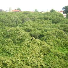
World's Largest Cashew Tree
38.3 km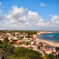
Pipa Beach
10.1 km
Arena das Dunas
56.3 km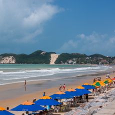
Ponta Negra
49.3 km
Federal University of Rio Grande do Norte
54.6 km
Frasqueirão
48.6 km
Parque da Cidade Dom Nivaldo Monte
54.9 km
Aquário Natal
55.4 km
Barra de Cunhaú
2.4 km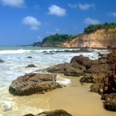
Praia de Cotovelo
46.4 km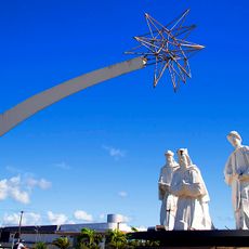
Pórtico dos Reis Magos
52.2 km
Praia de Búzios
31.7 km
Praia de Camurupim
25.6 km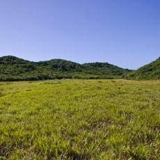
Mata da Estrela Private Natural Heritage Reserve
14.1 km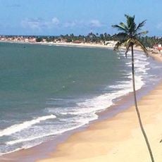
Praia do Forte
42.3 km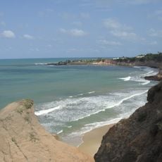
Barra de Tabatinga
29.5 km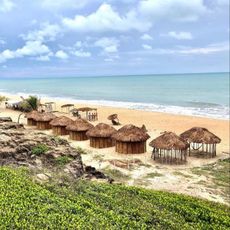
Tambá beach
40.1 km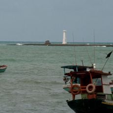
Phare de Baía da Traição
43.3 km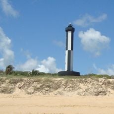
Bacopari Lighthouse
11.6 km
Trincheiras beach
44.6 km
Jerimum beach
37.8 km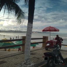
Pirangi beach
37.1 km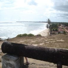
Fortim da Baía da Traição
42.1 km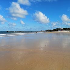
Praia Pirangi do Norte
38.2 km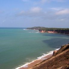
Ponta do Madeiro
11.9 km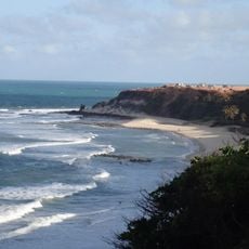
Praia do Amor
9.1 km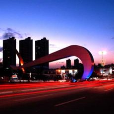
Arco do Sol
51.2 km
Cinépolis Natal Shopping
54.6 kmReviews
Visited this place? Tap the stars to rate it and share your experience / photos with the community! Try now! You can cancel it anytime.
Discover hidden gems everywhere you go!
From secret cafés to breathtaking viewpoints, skip the crowded tourist spots and find places that match your style. Our app makes it easy with voice search, smart filtering, route optimization, and insider tips from travelers worldwide. Download now for the complete mobile experience.

A unique approach to discovering new places❞
— Le Figaro
All the places worth exploring❞
— France Info
A tailor-made excursion in just a few clicks❞
— 20 Minutes