
Die Tand, Berggipfel in Südafrika
Location: Eastern Cape
Elevation above the sea: 1,510 m
GPS coordinates: -32.33420,24.19240
Latest update: March 23, 2025 20:55

Tsitsikamma National Park
189.9 km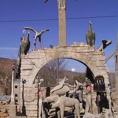
The Owl House
62.1 km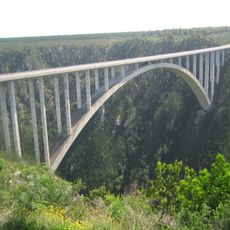
Bloukrans Bridge
188.8 km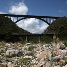
Van Stadens Bridge
198.9 km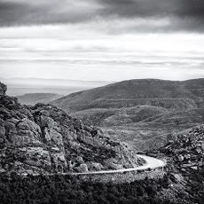
Swartberg
206.8 km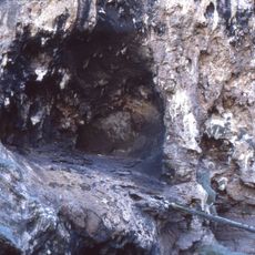
Klasies River Caves
198.3 km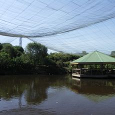
Birds of Eden
192.9 km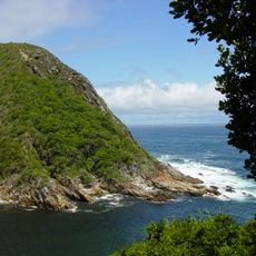
Garden Route National Park
205.2 km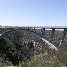
Paul Sauer Bridge
183.4 km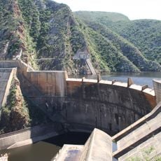
Kouga Dam
161 km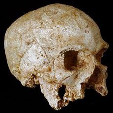
Hofmeyr Skull
188.1 km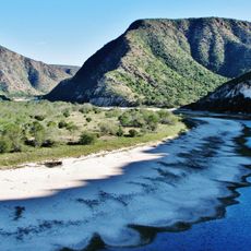
Baviaanskloof Mega Reserve
129.9 km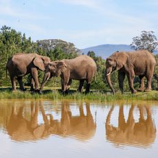
Knysna Elephant Park
208.1 km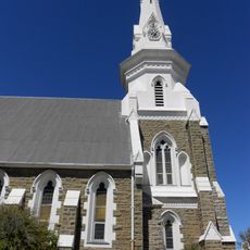
Beaufort West Reformed Church
151.4 km
Monkeyland
193.3 km
Sundays River Formation
192.7 km
Van Stadens River NG rail bridge
197.3 km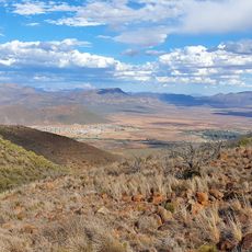
Valley of Desolation
29.3 km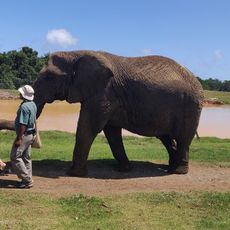
Elephant Sanctuary, The Crags, Plettenberg Bay
192.9 km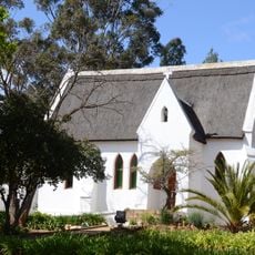
All Saints Church, Uniondale
177.5 km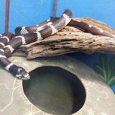
Lawnwood snake sanctuary
193 km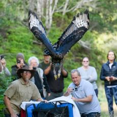
Radical Raptors
207.8 km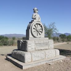
Statue d'Andries Pretorius
34.3 km
Van Plettenberg beacon
206.3 km
Schreiner House
135.4 km
Graaff-Reinet Museum
33.9 km
African Dawn Bird and Wildlife Sanctuary
195.9 km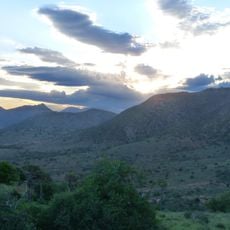
Haaspoort Game Reserve
122 kmReviews
Visited this place? Tap the stars to rate it and share your experience / photos with the community! Try now! You can cancel it anytime.
Discover hidden gems everywhere you go!
From secret cafés to breathtaking viewpoints, skip the crowded tourist spots and find places that match your style. Our app makes it easy with voice search, smart filtering, route optimization, and insider tips from travelers worldwide. Download now for the complete mobile experience.

A unique approach to discovering new places❞
— Le Figaro
All the places worth exploring❞
— France Info
A tailor-made excursion in just a few clicks❞
— 20 Minutes