
Mnquma Local Municipality, local municipality in Eastern Cape, South Africa
Location: Amathole District Municipality
Inception: December 5, 2000
Capital city: Butterworth, Eastern Cape
Elevation above the sea: 547 m
GPS coordinates: -32.31667,28.13333
Latest update: April 6, 2025 19:54
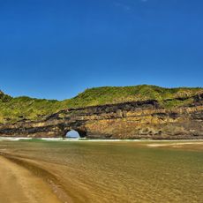
Hole-in-the-Wall, Eastern Cape
96.9 km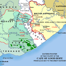
Albany
185.4 km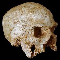
Hofmeyr Skull
221 km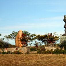
1820 Settlers National Monument
187.8 km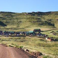
Ben Macdhui
186.7 km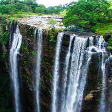
Magwa Falls
172.2 km
East London Museum
79 km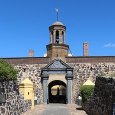
Fort Cox
114.2 km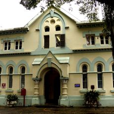
Amathole Museum
93.4 km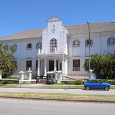
Albany Museum
187.2 km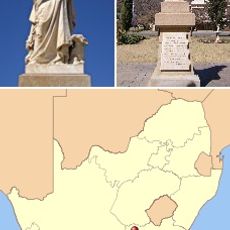
Dutch Language Monument
225.5 km
Amazwi South African Museum of Literature
186.6 km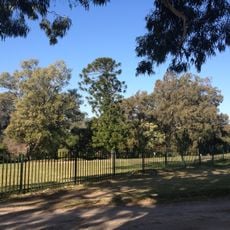
Makana Botanical Gardens
187.4 km
Great Fish River Nature Reserve
140.8 km
Ntaba kaNdoda
108.5 km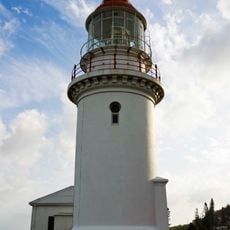
Hood Point Lighthouse
83.5 km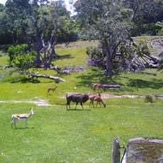
East London Zoo
81.1 km
Python Park
68.3 km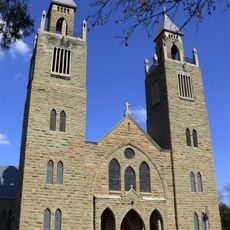
Aliwal North Sacred Heart Cathedral
225.4 km
Gaika’s Kop
114.1 km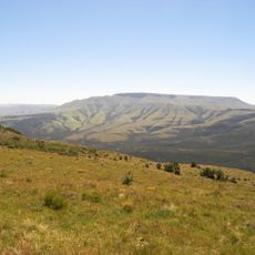
Elandsberg
119.4 km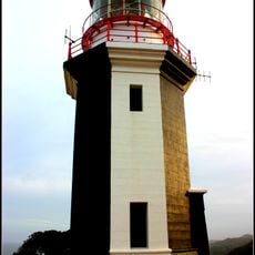
Great Fish Point Lighthouse
164.8 km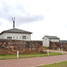
Fort Selwyn
187.8 km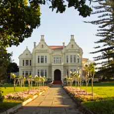
Ann Bryant Art Gallery
79.3 km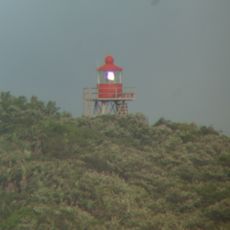
Kaap Morgan-vuurtoring
48.6 km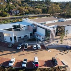
Amazwi South African Museum of Literature
187.9 km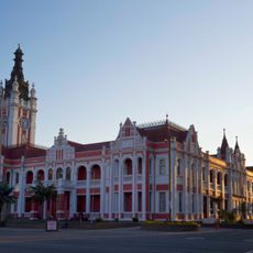
East London City Hall
80.6 km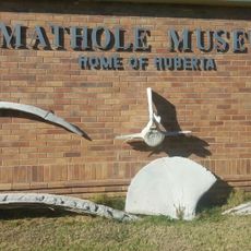
Amathole Museum Trends
94 kmReviews
Visited this place? Tap the stars to rate it and share your experience / photos with the community! Try now! You can cancel it anytime.
Discover hidden gems everywhere you go!
From secret cafés to breathtaking viewpoints, skip the crowded tourist spots and find places that match your style. Our app makes it easy with voice search, smart filtering, route optimization, and insider tips from travelers worldwide. Download now for the complete mobile experience.

A unique approach to discovering new places❞
— Le Figaro
All the places worth exploring❞
— France Info
A tailor-made excursion in just a few clicks❞
— 20 Minutes