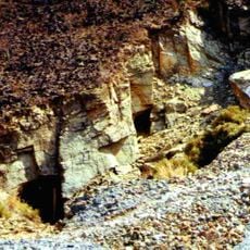
Zambezi Escarpment, Geological fault formation between Zambia and Zimbabwe.
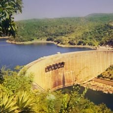
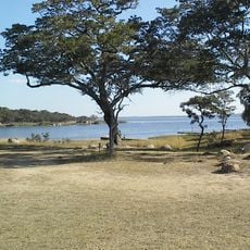
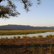
The Zambezi Escarpment is a steep rock formation rising 500 to 600 meters (1,600 to 2,000 feet) above Lake Kariba and the Zambezi River. This geological structure extends roughly 800 kilometers from the Batoka Gorge along the border between Zambia and Zimbabwe.
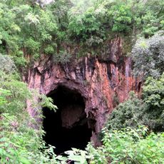
The formation originated from tectonic movements during the development of the African rift valley system. These geological forces created the distinct northern and southern sections visible along the escarpment today.
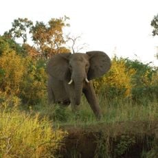
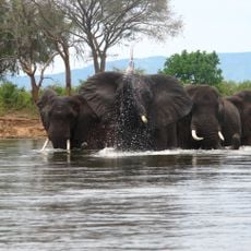
Local communities practice traditional fishing and land management methods passed down through generations, shaping how people interact with the land. These practices remain central to daily life and how residents relate to the natural surroundings.
You can reach the escarpment through routes near Siavonga in Zambia or the Chizarira National Park in Zimbabwe, with guided tours available year-round. Bring sturdy footwear and plenty of water, as the terrain is steep and the sun exposure significant.
The northern section in Zambia drops away more steeply than the southern portion, creating different experiences for visitors exploring each side. This variation in slope affects how water cascades down and how light plays across the rock faces throughout the day.
The community of curious travelers
AroundUs brings together thousands of curated places, local tips, and hidden gems, enriched daily by 60,000 contributors worldwide.