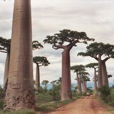
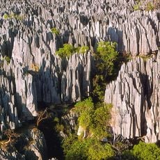
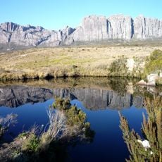
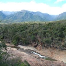
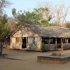
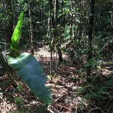
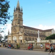
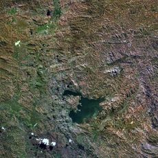
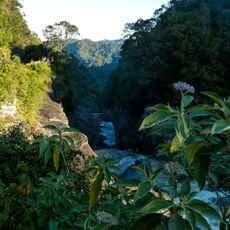
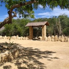
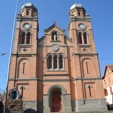
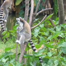
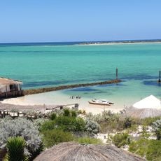
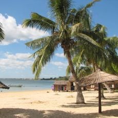
Soalara, place in Atsimo-Andrefana, Madagascar
Location: Toliara II
Elevation above the sea: 31 m
GPS coordinates: -23.58333,43.71667
Latest update: May 8, 2025 14:38
Avenue of the Baobabs
378.1 km
Tsingy de Bemaraha Strict Nature Reserve
557.7 km
Isalo National Park
205.8 km
Ranomafana National Park
466.3 km
Iavoloha Palace
645.1 km
Andringitra National Park
362.7 km
Andohahela National Park
332.4 km
Lemurs' Park
639 km
Aloalo
98.3 km
Kirindy Forest
401.9 km
Kirindy Mitea National Park
311.8 km
Ankaratra
596.2 km
Berenty Reserve
306.6 km
Anja Community Reserve
374.4 km
Sainte Luce Reserve
375.4 km
Anakao
11.5 km
Our Lady of La Salette Cathedral, Antsirabé
537.1 km
Itasy Volcanic Field
594.8 km
Andriamamovoka Falls
461 km
Arboretum d'Antsokay
19.3 km
Cathédrale du Saint-Nom-de-Jésus
418.7 km
Parc Botanique et Zoologique de Tsimbazaza
651.4 km
Lemurs Park
639.1 km
Andranomandroatra Analavory Geysers
600.6 km
Anakao Beach
11.2 km
Ifaty Beach
52.3 km
Île d’Europa
371.4 km
Cap Sainte-Marie Lighthouse
266 kmReviews
Visited this place? Tap the stars to rate it and share your experience / photos with the community! Try now! You can cancel it anytime.
Discover hidden gems everywhere you go!
From secret cafés to breathtaking viewpoints, skip the crowded tourist spots and find places that match your style. Our app makes it easy with voice search, smart filtering, route optimization, and insider tips from travelers worldwide. Download now for the complete mobile experience.
A unique approach to discovering new places❞
— Le Figaro
All the places worth exploring❞
— France Info
A tailor-made excursion in just a few clicks❞
— 20 Minutes