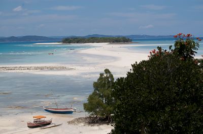
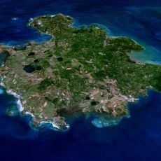
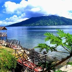
Nosy Iranja, Island group off the coast of Nosy Be, Madagascar.
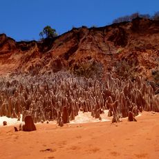
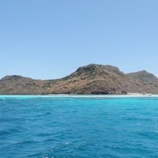
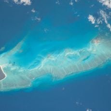
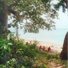
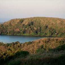
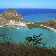
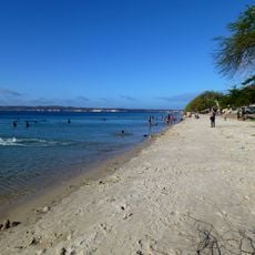
Nosy Iranja is an island group off Nosy Be consisting of two islands connected by a wide sand strip that emerges at low tide. The area sits in the Indian Ocean near Madagascar and features long white beaches with shallow bays.
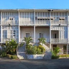
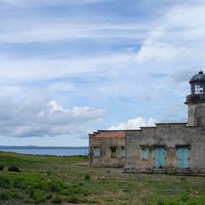
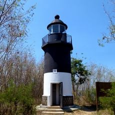
A lighthouse was built on the islands in the early 20th century to guide ships through the Mozambique Channel. The structure reflects the long maritime history of this region.
Local fishermen still use traditional wooden boats and handmade nets that have been passed down through generations.
Boats depart from Nosy Be and take between 75 and 90 minutes depending on weather, with travel times varying throughout the day. Start early to make the most of low tide and the sand passage between the islands.
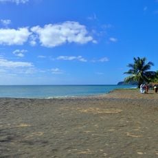
Sea turtles come to nest here and lay their eggs in the sand from October through February each year. This annual migration makes this place important in the breeding cycle of these ocean creatures.
The community of curious travelers
AroundUs brings together thousands of curated places, local tips, and hidden gems, enriched daily by 60,000 contributors worldwide.