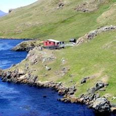
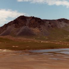
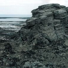
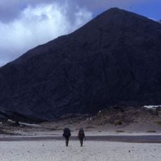
Plage de la Possession, Beach in French Southern and Antarctic Lands.
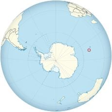
Plage de la Possession is a sand beach along the Indian Ocean coast at approximately 49 degrees south latitude, offering direct access to waters in this remote location. The beach sits on French territory in the southern seas and serves research operations.
On 13 February 1772, a longboat named La Mouche, commanded by ensign Charles du Boisguehenneuc, landed here from the Gros Ventre, one of the two ships of Yves Joseph de Kerguelen de Trémarec, and took possession of the islands for Louis XV and the kingdom of France. The beach was named the same year on the so-called "Saint Allouarn" map. In 2015 François Garde and four companions reached it on the second north-south crossing of the archipelago.
The beach takes its name from the taking of possession of the Kerguelen islands for the Kingdom of France on 13 February 1772, when Charles du Boisguehenneuc landed here by longboat from the Gros Ventre. The name appears the same year on the so-called "Saint Allouarn" map. In 2015 François Garde and four companions ended the second north-south crossing of the archipelago here, a journey told in his 2018 book Marcher à Kerguelen.
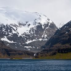
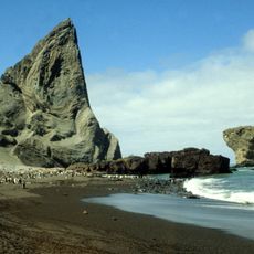
The beach lies in the Anse du Gros Ventre, at the southern end of the Rallier du Baty peninsula, almost on the 50th parallel south. It can only be reached by sea, and the surrounding massif is drained by several rivers, the main one being the Rivière des Sables. Landing is on a black sand cordon about 2,000 m long, exposed to the Antarctic Circumpolar Current.
The beach takes its name from the French taking possession of the Kerguelen islands for King Louis XV on 13 February 1772, when Charles du Boisguehenneuc landed here by longboat from the Gros Ventre. It is the southernmost beach of French territory, lying almost on the 50th parallel south.
The community of curious travelers
AroundUs brings together thousands of curated places, local tips, and hidden gems, enriched daily by 93,125 contributors worldwide.