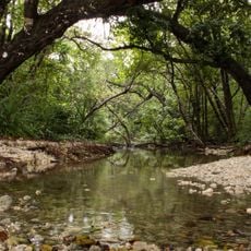
Pesisir Tengah, district in West Pesisir Regency, Lampung Province, Indonesia
Location: West Coast
Elevation above the sea: 201 m
GPS coordinates: -5.12667,103.97667
Latest update: March 4, 2025 11:11
Ujung Kulon National Park
235 km
Way Kambas National Park
198.6 km
Sunda Strait Bridge
227.7 km
Dempo
155.5 km
Lake Ranau
29.3 km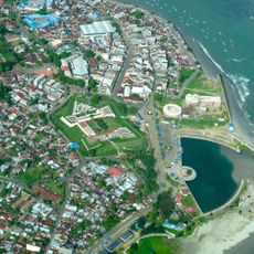
Fort Marlborough
242.7 km
Rakata
198.7 km
Bukit Barisan Selatan National Park
23.4 km
Muhammad Cheng Hoo Mosque
250.4 km
Siger Tower
213 km
Mount Kaba
233.8 km
Peucang Island
228.9 km
Gunung Rajabasa
197.3 km
Fatmawati's house
241 km
Panaitan Island
212.6 km
Tambling Wildlife Nature Conservation
108.8 km
Way Halim Stadium
147.1 km
Mount Besar
83.9 km
Thomas Parr Monument
242.6 km
Serasan Sekate Stadium
250 km
Cikoneng Lighthouse
236.1 km
Akbar At-Taqwa Grand Mosque
241.1 km
Masjid Carita
245.3 km
Baitul Mukhlisin Islamic Center Mosque
19.6 km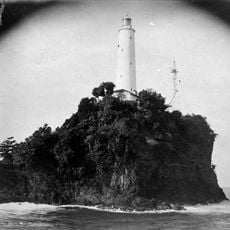
Tanjung Layar Lighthouse
226.5 km
Maung
142.2 km
Masjid Caringin
246.4 km
Pulau Anak Krakatau natural reserve
195.3 kmReviews
Visited this place? Tap the stars to rate it and share your experience / photos with the community! Try now! You can cancel it anytime.
Discover hidden gems everywhere you go!
From secret cafés to breathtaking viewpoints, skip the crowded tourist spots and find places that match your style. Our app makes it easy with voice search, smart filtering, route optimization, and insider tips from travelers worldwide. Download now for the complete mobile experience.

A unique approach to discovering new places❞
— Le Figaro
All the places worth exploring❞
— France Info
A tailor-made excursion in just a few clicks❞
— 20 Minutes