Penengahan, district in South Lampung Regency, Lampung Province, Indonesia
Location: South Lampung
Elevation above the sea: 104 m
GPS coordinates: -5.74824,105.68524
Latest update: April 4, 2025 14:10

Way Kambas National Park
90.8 km
Great Mosque of Banten
61.1 km
Sunda Strait Bridge
29.8 km
Kepulauan Seribu Marine National Park
103 km
Gunung Karang
70.8 km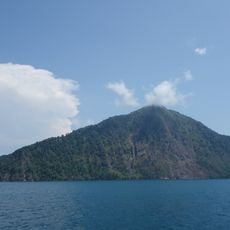
Rakata
52.3 km
Pulosari
73.6 km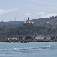
Siger Tower
14.9 km
Pantai Marina
47.9 km
Gunung Rajabasa
7 km
Way Halim Stadium
60.9 km
Pantai Karangsari
63.5 km
Pantai Pasir Putih
44 km
Tanjung Lesung Beach
81.4 km
Rawa Danau Nature Reserve
57.1 km
Cikoneng Lighthouse
42.2 km
Kasunyatan Mosque
62.2 km
Masjid Carita
65.5 km
Gita Persada Butterfly Park
66 km
Payung Besar Island
96.6 km
Wisata Pantai
103.5 km
Masjid Caringin
69.5 km
Pantai Pasir Panjang
29.6 km
Pulau Anak Krakatau natural reserve
50.1 km
Tiger Island
97.2 km
Pantai Matahari
57.2 km
Pantai Bulakan
52.5 km
Pantai Badur
81.4 kmVisited this place? Tap the stars to rate it and share your experience / photos with the community! Try now! You can cancel it anytime.
Discover hidden gems everywhere you go!
From secret cafés to breathtaking viewpoints, skip the crowded tourist spots and find places that match your style. Our app makes it easy with voice search, smart filtering, route optimization, and insider tips from travelers worldwide. Download now for the complete mobile experience.

A unique approach to discovering new places❞
— Le Figaro
All the places worth exploring❞
— France Info
A tailor-made excursion in just a few clicks❞
— 20 Minutes