
Panjang Selatan, subdistrict in Bandar Lampung City, Lampung, Indonesia
Location: Panjang
Elevation above the sea: 10 m
GPS coordinates: -5.47944,105.32556
Latest update: June 10, 2025 23:07
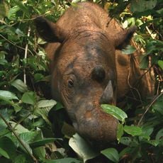
Way Kambas National Park
77.1 km
Great Mosque of Banten
110.8 km
Gunung Karang
119.1 km
Rakata
76.1 km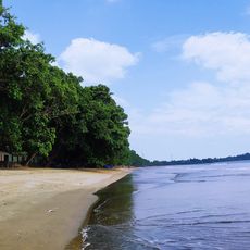
Pantai Carita
107.2 km
Pulosari
120.2 km
Siger Tower
63.7 km
Pantai Marina
94.5 km
Gunung Rajabasa
47.7 km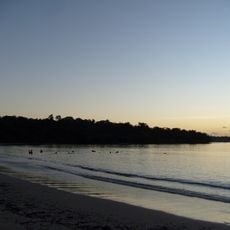
Panaitan Island
124.4 km
Tambling Wildlife Nature Conservation
98.1 km
Way Halim Stadium
12.3 km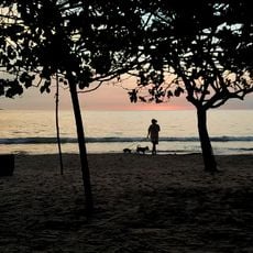
Pantai Karangsari
107.4 km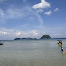
Pantai Pasir Putih
6.4 km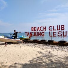
Tanjung Lesung Beach
117.1 km
Rawa Danau Nature Reserve
105.7 km
Cikoneng Lighthouse
90.4 km
Kasunyatan Mosque
111.9 km
Masjid Carita
109.2 km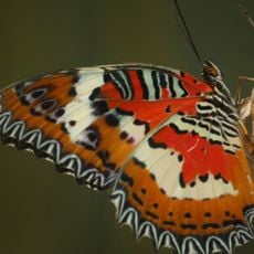
Gita Persada Butterfly Park
16.6 km
Masjid Caringin
112.3 km
Waterpark Kali miring
97.5 km
Pantai Pasir Panjang
78.8 km
Pulau Anak Krakatau natural reserve
72.2 km
Pantai Matahari
101.4 km
Pantai Bulakan
97.9 km
Pemandian Florida
89.2 km
Pantai Badur
117.2 kmReviews
Visited this place? Tap the stars to rate it and share your experience / photos with the community! Try now! You can cancel it anytime.
Discover hidden gems everywhere you go!
From secret cafés to breathtaking viewpoints, skip the crowded tourist spots and find places that match your style. Our app makes it easy with voice search, smart filtering, route optimization, and insider tips from travelers worldwide. Download now for the complete mobile experience.

A unique approach to discovering new places❞
— Le Figaro
All the places worth exploring❞
— France Info
A tailor-made excursion in just a few clicks❞
— 20 Minutes