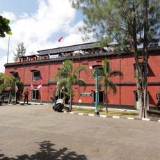
Ajibarang, Administrative district in Banyumas, Indonesia
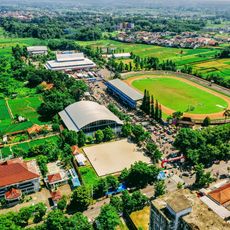
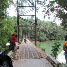
Ajibarang is an administrative district in Banyumas comprising 15 villages organized around central and peripheral market areas that serve as trading hubs. The settlement pattern follows main roads that connect different sections, creating a linked network of villages rather than a single compact center.
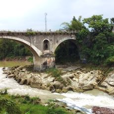
This district developed as a key crossroads where major trade routes intersect, linking northern and southern regions while also connecting east-west paths. Its importance as a junction point shaped how settlements and markets grew throughout the area.
The district maintains traditional customs and Islamic practices that shape how people live together and mark important community moments. Prayer times structure the rhythm of daily activities, connecting residents through shared spiritual life.
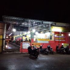
The main market serves as the most accessible commercial hub with the widest range of goods and services in the region. Individual village markets offer more convenient access if you are exploring specific areas, so plan your route depending on where you want to spend time.
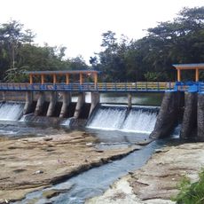
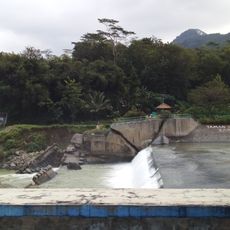
Dream Land Water Park in one of the villages draws on natural spring sources to operate its rides and pools, making it the largest water recreation facility in the broader region. This destination highlights how local water resources support contemporary leisure activities beyond traditional village life.
The community of curious travelers
AroundUs brings together thousands of curated places, local tips, and hidden gems, enriched daily by 60,000 contributors worldwide.