Purwokerto Barat, district in Banyumas Regency, Central Java Province, Indonesia
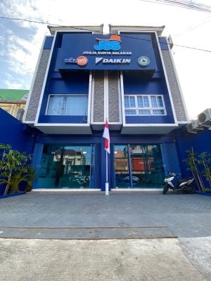
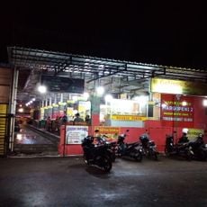
Purwokerto Barat is a district in the city of Purwokerto in Central Java, Indonesia, with a dense mix of residential houses and small shops. The streets are active during the day, with traffic, pedestrians, and street vendors selling goods along the sidewalks.
Purwokerto Barat developed over many decades from a small settlement into a lively district. Local families carry memories of the neighborhood's changes, with new shops and homes being built, reflecting the city's growth and their own contributions to it.
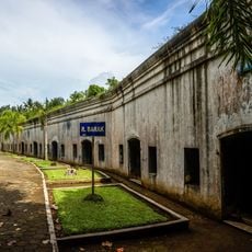
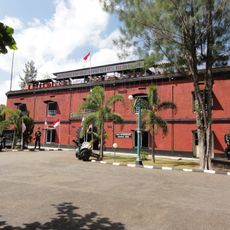
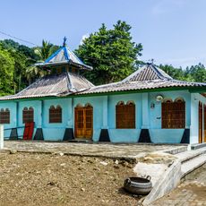
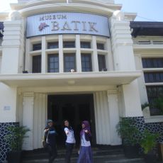
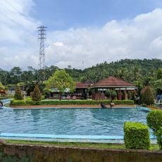
Purwokerto Barat shows a blend of traditional and modern buildings that reflects the neighborhood's long history. Local culture appears in everyday greetings, community gatherings at markets, and neighborhood celebrations where music and dance performances bring residents together.
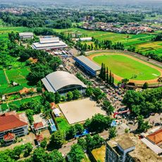
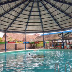
You can move around this district easily on foot or by motorcycle, as everything is compact and most destinations are close together. The area has basic facilities like small clinics, markets, and places to pray that you can find without difficulty.
The morning and late afternoon hours are particularly lively, when people travel to work or markets and street vendors set up their stalls. These busy times give you a genuine sense of the community's daily rhythm and pace.
The community of curious travelers
AroundUs brings together thousands of curated places, local tips, and hidden gems, enriched daily by 60,000 contributors worldwide.