
Limbangan, village in Pemalang Regency, Central Java, Indonesia
Location: Ulujami
Elevation above the sea: 6 m
GPS coordinates: -6.82778,109.53167
Latest update: May 22, 2025 05:45

Tugu inscription
44.6 km
Gunung Slamet
57.3 km
Gunung Sumbing
86.1 km
Dieng temples
58.1 km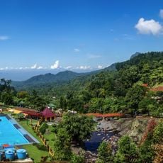
Baturraden
63.5 km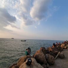
Pantai Marina
95.9 km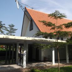
Monastery of Santa Maria Rawaseneng
86.6 km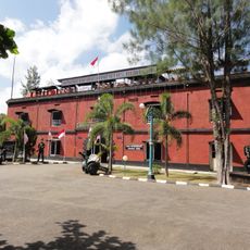
Van der Wijck Fort
85.9 km
Kebon Kewan Semarang
85.1 km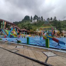
Air Panas Guci
57.8 km
Mount Sindoro
73.6 km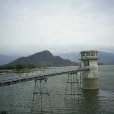
Malahayu Reservoir
83.3 km
Curug Cipendok
71.9 km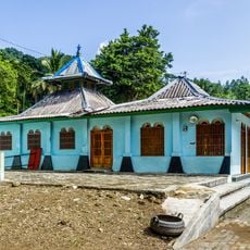
Saka Tunggal Mosque
89.1 km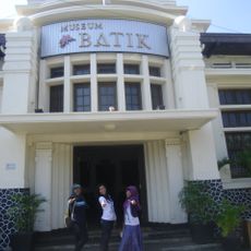
Pekalongan Batik Museum
16.9 km
Lawet Monument
94.9 km
Dieng Volcanic Complex
59.6 km
Pancuran Tujuh
63.9 km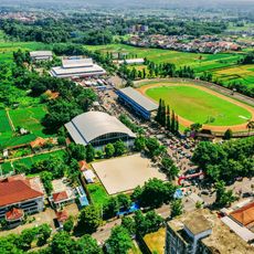
Satria Stadium
72.5 km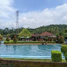
Buken
67.2 km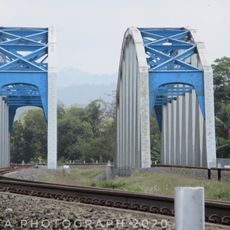
Renville Bridge
95.6 km
Pantai Tirang
92.5 km
Taman Air
96.4 km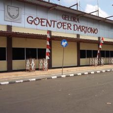
Goentoer Darjono Stadium
65.8 km
Memorial cemetery Kalibanteng
95.2 km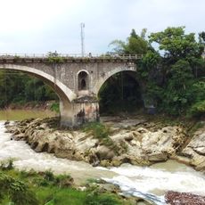
Jembatan Tembana
94.2 km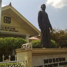
BRI Museum
74.5 km
Ronche Square
45.4 kmReviews
Visited this place? Tap the stars to rate it and share your experience / photos with the community! Try now! You can cancel it anytime.
Discover hidden gems everywhere you go!
From secret cafés to breathtaking viewpoints, skip the crowded tourist spots and find places that match your style. Our app makes it easy with voice search, smart filtering, route optimization, and insider tips from travelers worldwide. Download now for the complete mobile experience.

A unique approach to discovering new places❞
— Le Figaro
All the places worth exploring❞
— France Info
A tailor-made excursion in just a few clicks❞
— 20 Minutes