
Grobogan, district in Grobogan Regency, Central Java Province, Indonesia
Location: Grobogan
Elevation above the sea: 42 m
GPS coordinates: -7.01778,110.96083
Latest update: March 8, 2025 12:53
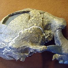
Sangiran
49.6 km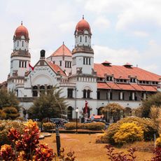
Lawang Sewu
60.9 km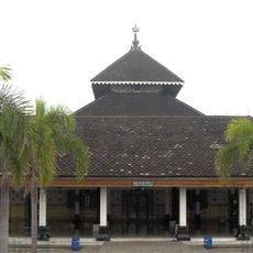
Demak Great Mosque
38.3 km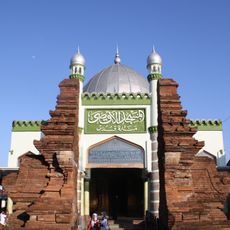
Menara Kudus Mosque
27.7 km
Trinil
59.1 km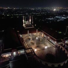
Great Mosque of Central Java
57 kmTugu Muda
61 km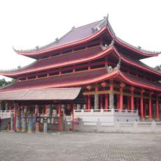
Sam Poo Kong
62.2 kmKota Lama Semarang
59.1 km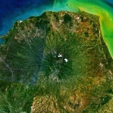
Gunung Muria
45.4 km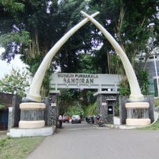
Musiyum Manungsa Purwa Sangiran
50.5 km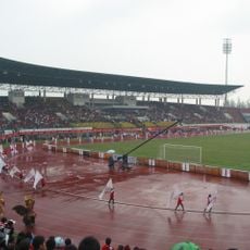
Manahan Stadium
62.2 kmBledug Kuwu Mud Volcano
21 km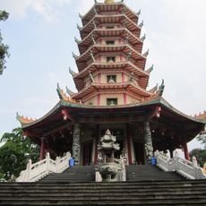
Vihara Buddhagaya Watugong
61.5 km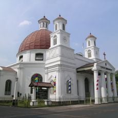
Blenduk Church
59.2 km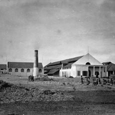
De Tjolomadoe
62.1 km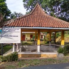
Plumpungan Inscription
59 km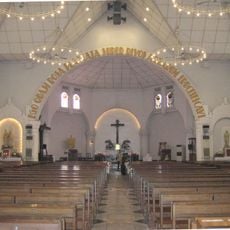
Holy Rosary Cathedral
61 km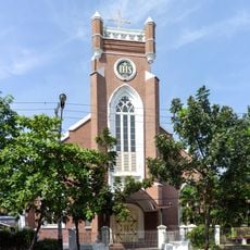
St. Joseph's Church, Semarang
58.8 km
Fort Willem II
62.7 km
Tay Kak Sie Temple
59.1 km
Semarang Contemporary Art Gallery
59.1 km
Memorial cemetery Candi
61.1 km
Langgar Bubrah
27.4 km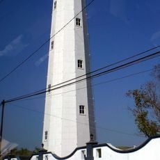
Semarang Lighthouse
60.4 km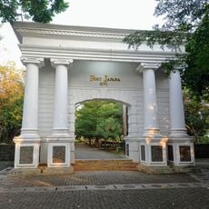
Fort Japara
58.1 km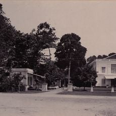
Governor's House Semarang
61.2 km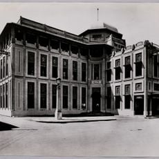
Building of the Nillmij (Semarang)
59.2 kmVisited this place? Tap the stars to rate it and share your experience / photos with the community! Try now! You can cancel it anytime.
Discover hidden gems everywhere you go!
From secret cafés to breathtaking viewpoints, skip the crowded tourist spots and find places that match your style. Our app makes it easy with voice search, smart filtering, route optimization, and insider tips from travelers worldwide. Download now for the complete mobile experience.

A unique approach to discovering new places❞
— Le Figaro
All the places worth exploring❞
— France Info
A tailor-made excursion in just a few clicks❞
— 20 Minutes