Kayu Agung, district in Ogan Komering Ilir Regency, South Sumatra Province, Indonesia
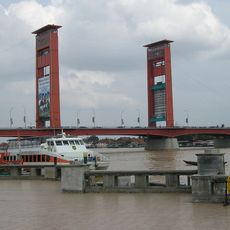
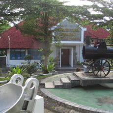
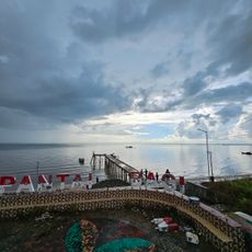
Kayu Agung is the capital of Ogan Komering Ilir regency in South Sumatra and serves as the administrative center of the district. The town sits on flat land with wide streets, low-rise buildings of simple design, and small local shops existing alongside modern hotels and restaurants, while the Komering River runs through the center.
Kayu Agung was historically an important trading point where farmers and merchants gathered for years to exchange goods and products. This trading past is reflected in the older buildings and open markets that still shape the center today.
The town hosts the Midang tradition, a colorful wedding celebration with decorated dragon-shaped carts and festive music that brings families together across generations. Local dancers also keep customs alive through the Penguton dance, performed at official events and reflecting the nine ethnic groups of the area.
The town is easy to navigate on foot with wide streets and local shops that are straightforward to explore. Rickshaws and motorbikes are the main ways people travel, and traffic moves at a calm pace, making walking around pleasant.
The nine founding groups of the town, called Morge Siwe, each maintain different local traditions while living together as one community and celebrating their cultural differences at major festivals. This rare balance between diversity and unity shapes the town's character in a special way.
The community of curious travelers
AroundUs brings together thousands of curated places, local tips, and hidden gems, enriched daily by 60,000 contributors worldwide.