Enable Location

We need your location to show you interesting places around you

Discover nearby places

Find interesting locations and hidden gems around you

Precise directions

Get accurate directions and distances to places

Your location is never shared with other users. It's only used when you tap the location button.

Lumajang

Log in to your account

Start exploring — it's free

Trusted by 63,164 travelers worldwide

Continue with Google
Continue with Apple
or

We will send you a code to connect

By continuing, you accept our Terms and Conditions and our Privacy Policy

Check your inbox

We've sent a pincode in your inbox. Please enter the code below.

Discussion Reviews 3 Photos
48.6k Popularity

Lumajang, Administrative region in East Java, Indonesia

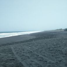
Lumajang is an administrative regency in East Java that covers roughly 1,790 square kilometers across 21 districts. The territory stretches from Probolinggo in the north to the Indian Ocean in the south.

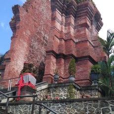
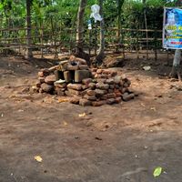
Archaeological discoveries show that the area has been inhabited since ancient times, with stone monuments found across several districts. These menhirs scattered throughout Senduro, Sukodono, and Klakah suggest long-standing human settlement here.

The communities here speak different languages and follow distinct traditions that shape daily life and local celebrations. You notice this in markets, temples, and during festive seasons when each group gathers for their own observances.

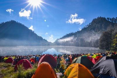
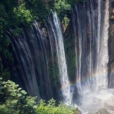
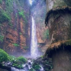
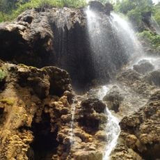
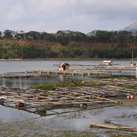
The territory is crossed by numerous rivers and waterways that support agriculture and shape the landscape. Plan visits during drier months when roads are easier to navigate and water levels are more manageable.

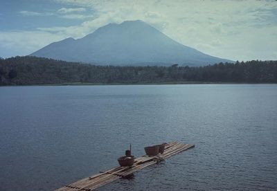
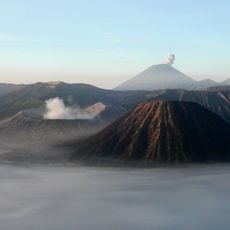
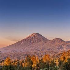
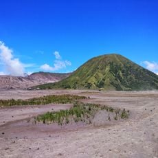
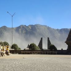
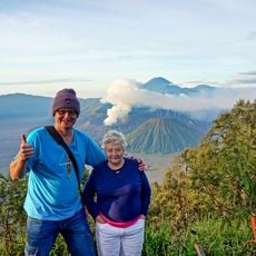
The temperature changes dramatically depending on elevation, ranging from over 30 degrees Celsius in lowland areas to below 5 degrees Celsius in higher zones. Mount Semeru, Java's tallest peak, shapes much of the climate and landscape here.

The community of curious travelers

AroundUs brings together thousands of curated places, local tips, and hidden gems, enriched daily by 60,000 contributors worldwide.

Start exploring
Location
Capital city
Lumajang
Elevation above the sea
153 m
Shares border with
Malang, Probolinggo, Jember
GPS coordinates
-8.13333,113.21667
Latest update
December 14, 2025 19:07
Reviews
Share your experience

No review yet

Discussions
Start a discussion...

No discussion yet

« Lumajang - Administrative region in East Java, Indonesia » is provided by Around Us (aroundus.com). Images and texts are derived from Wikimedia project under a Creative Commons license. You are allowed to copy, distribute, and modify copies of this page, under the conditions set by the license, as long as this note is clearly visible.

Discover hidden gems everywhere you go!

From secret cafés to breathtaking viewpoints, skip the crowded tourist spots and find places that match your style. Our app makes it easy with voice search, smart filtering, route optimization, and insider tips from travelers worldwide. Download now for the complete mobile experience.

Around Us App Screenshot

A unique approach to discovering new places

Le Figaro

All the places worth exploring

France Info

A tailor-made excursion in just a few clicks

20 Minutes

Around Us
Travel Guide & Maps
Download

Send to your phone

QR Code
1

Open the camera app on your mobile.

2

Point at the QR code with your camera. A notification will appear.

3

Tap the notification to open the link.