Pegunungan Kendeng, Mountain range in northern Java, Indonesia.
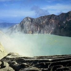
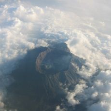
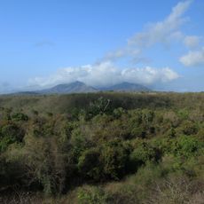
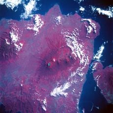
The Kendeng Mountains form a long ridge stretching across 250 kilometers through eight districts in Central and East Java, with peaks reaching up to 897 meters. The range consists of complex limestone formations shaped over millions of years by tectonic movement.
The Kendeng Mountains began forming millions of years ago through tectonic plate movements that created the landscape we see today. These geological processes left behind the limestone structures that define the range.
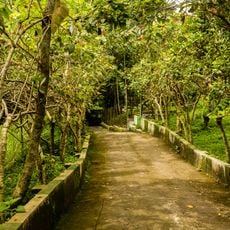
Local communities have lived in the Kendeng region for centuries, shaping how people use the land and pass down knowledge about the mountains. The way villages are positioned and how farming is practiced reflects this long relationship with the terrain.
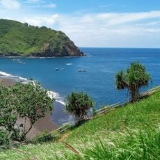
The mountains hold important groundwater resources and feed several rivers including the Bengawan, Lusi, and Brantas. Access can vary depending on the season and weather, so it's helpful to check local conditions before planning a visit.
Mount Pandan stands as the highest peak and displays distinct geological layers that tell the story of an ancient seabed. These visible rock layers show what the region looked like when it was covered by water millions of years ago.
The community of curious travelers
AroundUs brings together thousands of curated places, local tips, and hidden gems, enriched daily by 60,000 contributors worldwide.