
Dawuhan, subdistrict in Situbondo Regency, East Java, Indonesia
Location: Situbondo
Elevation above the sea: 31 m
GPS coordinates: -7.70278,114.00500
Latest update: March 20, 2025 12:25
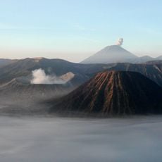
Mount Bromo
119 km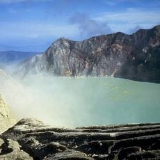
Ijen
47.5 km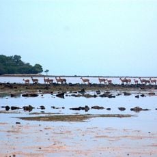
Baluran National Park
42.5 km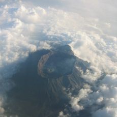
Gunung Raung
46.7 km
Madakaripura Waterfall
110.1 km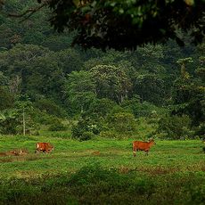
Alas Purwo National Park
120.4 km
Meru Betiri National Park
83.8 km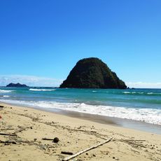
Pantai Pancer
99.6 km
West Bali National Park
73.9 km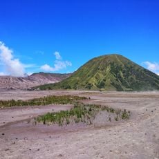
Mount Batok
119.5 km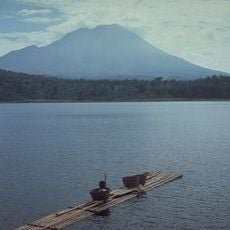
Mount Lamongan
79.3 km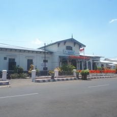
Bondowoso Rail and Train Museum
30.7 km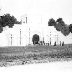
Great Mosque of Sumenep
79 km
Gelora Ratu Pamelingan Stadium
80.9 km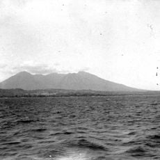
Baluran
43.7 km
Bangsring Under Water
61.1 km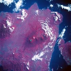
Caldeira de Kendeng
39.6 km
Sukorambi Botanical Garden
63.6 km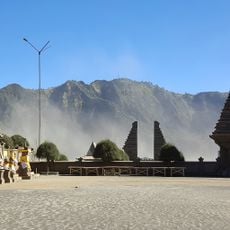
Luhur Poten Temple Of Mount Bromo
118.7 km
Iyang-Argapura
56.5 km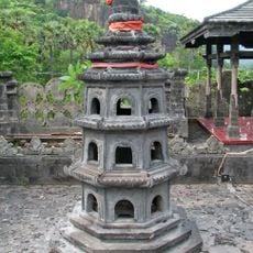
Pura Pulaki
89.3 km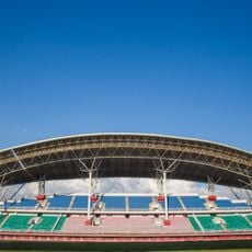
Jember Sport Garden Stadium
68 km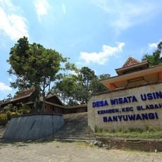
Wisata Osing
65.7 km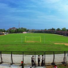
Ahmad Yani Stadium
105.5 km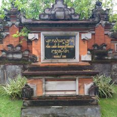
Rambut Siwi
114.5 km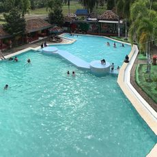
9 Palem
86.8 km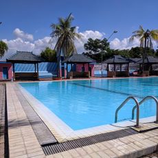
Kolam Renang Tirta Pandawa
2.1 km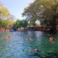
Pemandian Alam Banyu Biru
114.4 kmReviews
Visited this place? Tap the stars to rate it and share your experience / photos with the community! Try now! You can cancel it anytime.
Discover hidden gems everywhere you go!
From secret cafés to breathtaking viewpoints, skip the crowded tourist spots and find places that match your style. Our app makes it easy with voice search, smart filtering, route optimization, and insider tips from travelers worldwide. Download now for the complete mobile experience.

A unique approach to discovering new places❞
— Le Figaro
All the places worth exploring❞
— France Info
A tailor-made excursion in just a few clicks❞
— 20 Minutes