
Kanata, village in Bima, West Nusa Tenggara Province, Indonesia
Location: Soromandi
Elevation above the sea: 417 m
GPS coordinates: -8.38300,118.63200
Latest update: March 9, 2025 03:58

Tambora
71.7 km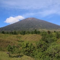
Rinjani
239.4 km
Komodo National Park
108.2 km
Pantai Senggigi
284.9 km
Liang Bua
202 km
Mount Rinjani National Park
244 km
Narmada Palace
268.3 km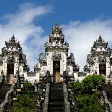
Pura Lempuyang Luhur
330.5 km
Sangeang Api
52.4 km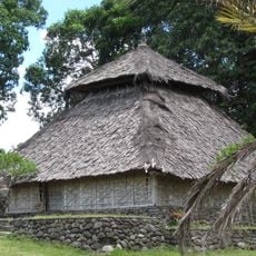
Bayan Beleq Mosque
243.2 km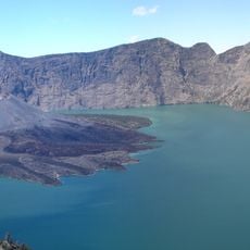
Caldeira Segara Anak
244.3 km
Keli Ebulobo
285.8 km
Pink Beach
100.7 km
Inierie
260.9 km
Laiwangi Wanggameti National Park
253.3 km
Manupeu Tanah Daru National Park
189.6 km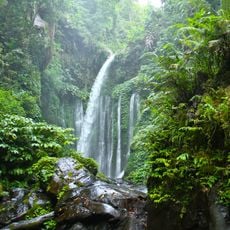
Tiu Kelep Waterfall
245.1 km
Poco Ranaka
211 km
Wolo Inelika
260.7 km
Taman Mayura
276.1 km
Pura Lingsar
270.8 km
Darussalam Great Mosque
200.3 km
Cathedral of the Holy Spirit, Weetebula
135.3 km
Pura Meru
276.2 km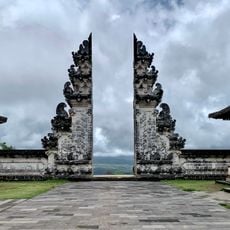
Lempuyang Gate of Heaven
330.5 km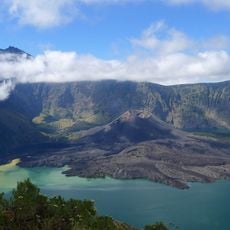
Rinjani-Lombok
206.5 km
Moyo Satonda National Park
106.5 km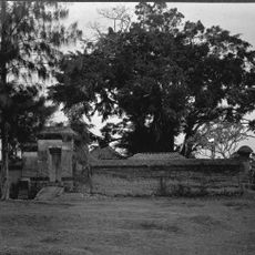
Pura Dalem Karang Jangkong
277.7 kmReviews
Visited this place? Tap the stars to rate it and share your experience / photos with the community! Try now! You can cancel it anytime.
Discover hidden gems everywhere you go!
From secret cafés to breathtaking viewpoints, skip the crowded tourist spots and find places that match your style. Our app makes it easy with voice search, smart filtering, route optimization, and insider tips from travelers worldwide. Download now for the complete mobile experience.

A unique approach to discovering new places❞
— Le Figaro
All the places worth exploring❞
— France Info
A tailor-made excursion in just a few clicks❞
— 20 Minutes