Chest opened
+${chestReward.xp} XP
Explorer
NOUVEAU ×${chestReward.collectible.quantity}
tapez pour fermer
Chest locked

Open chests in the app

Around Us is built for your phone — chests unlock when you walk, explore and capture nearby places.

Enable Location

We need your location to show you interesting places around you

Discover nearby places

Find interesting locations and hidden gems around you

Precise directions

Get accurate directions and distances to places

Your location is never shared with other users. It's only used when you tap the location button.

Log in to your account

Start exploring — it's free

Trusted by 72,879 travelers worldwide

Continue with Google
Continue with Apple
or

We will send you a code to connect

By continuing, you accept our Terms and Conditions and our Privacy Policy

Check your inbox

We've sent a pincode in your inbox. Please enter the code below.

Ord River Floodplain
Discussion Reviews Photo
2.3k Popularity

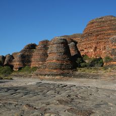
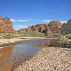
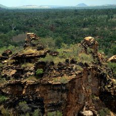
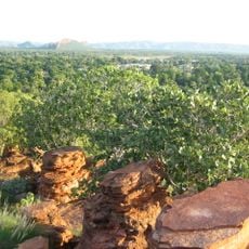
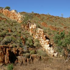
Ord River Floodplain, Wetland complex at Kimberley region, Western Australia.

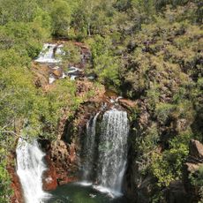
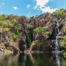
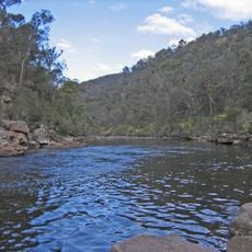
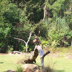
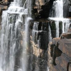
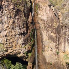
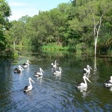
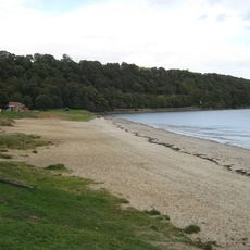
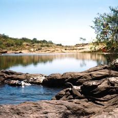
The Ord River Floodplain is a large wetland in northwestern Australia with rivers, creeks, tidal mudflats, and extensive mangrove forests. The system includes several protected nature reserves where different waterbirds, crocodiles, and about fifteen mangrove species live side by side.

The area was recognized as Ramsar site number 477 in 1990, receiving international protection status for its wetland importance. This designation marked a milestone in establishing the region as a globally significant conservation area.

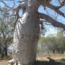
The Miriwoong and Gajerrong peoples maintain deep ties to this land, with numerous places holding spiritual significance for their communities. These connections shape how the region is understood and valued by those who know it best.

The area is most accessible during the dry season when conditions are best for viewing wildlife. Visitors should be prepared for tropical heat and follow guidelines when observing crocodiles and birds in the reserves.

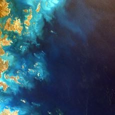
The False Mouths of the Ord contain Western Australia's largest system of mudflats and tidal waterways. This specialized habitat supports a rare population of Northern river sharks, a species found in very few places worldwide.

The community of curious travelers

AroundUs brings together thousands of curated places, local tips, and hidden gems, enriched daily by 60,000 contributors worldwide.

Start exploring
GPS coordinates
-15.25000,128.36700
Latest update
December 13, 2025 12:25
Reviews
Share your experience

No review yet

Discussions
Start a discussion...

No discussion yet

« Ord River Floodplain - Wetland complex at Kimberley region, Western Australia » is provided by Around Us (aroundus.com). Images and texts are derived from Wikimedia project under a Creative Commons license. You are allowed to copy, distribute, and modify copies of this page, under the conditions set by the license, as long as this note is clearly visible.

Discover hidden gems everywhere you go!

From secret cafés to breathtaking viewpoints, skip the crowded tourist spots and find places that match your style. Our app makes it easy with voice search, smart filtering, route optimization, and insider tips from travelers worldwide. Download now for the complete mobile experience.

Around Us App Screenshot

A unique approach to discovering new places

Le Figaro

All the places worth exploring

France Info

A tailor-made excursion in just a few clicks

20 Minutes

Around Us
Travel Guide & Maps
Download

Send to your phone

QR Code
1

Open the camera app on your mobile.

2

Point at the QR code with your camera. A notification will appear.

3

Tap the notification to open the link.