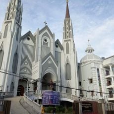
Majene, Coastal administrative region in West Sulawesi, Indonesia
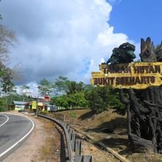
Majene is an administrative region along Mandar Bay in West Sulawesi divided into eight districts spanning coastal and highland areas. The terrain includes elevations reaching approximately 200 meters and encompasses diverse landscapes shaped by both sea and mountains.
This region was home to three influential Mandar kingdoms—Bangai, Pamboang, and Sendana—until Dutch colonial forces established control following the 1667 Bungaya Treaty. This shift under European rule marked a fundamental change in regional governance and power structures.
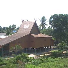
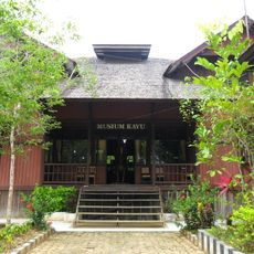
The Mandar people shape daily life here through traditional silk weaving, fishing practices, and the construction of elevated Panggung houses that define the landscape. These handcrafts remain central to how people work and build their communities today.
Visitors arrive through Tampa Padang Airport in Mamuju, then take local transportation for a two-hour journey to reach the regency capital. Travel during the dry season offers the most reliable road conditions for exploring the area.
This region produces significant quantities of cacao with processing facilities and cultivation programs contributing to Indonesia's agricultural sector. This farming activity is widespread in rural communities and forms an important economic activity alongside traditional fishing.
The community of curious travelers
AroundUs brings together thousands of curated places, local tips, and hidden gems, enriched daily by 60,000 contributors worldwide.