
Myra Falls, شلال في إقليم شمالي، أستراليا
Location: Northern Territory
Elevation above the sea: 126 m
GPS coordinates: -12.45000,133.33330
Latest update: May 10, 2025 12:54
Kakadu National Park
107.9 km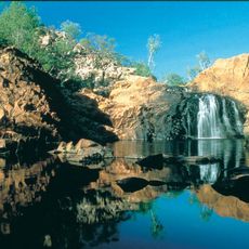
Nitmiluk National Park
207.8 km
Hidden Valley Raceway
263.7 km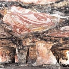
Gabarnmung
62.8 km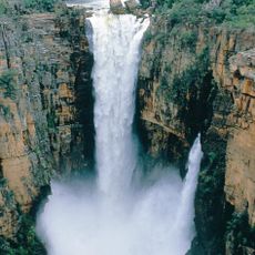
Jim Jim Falls
106.2 km
Edith Falls
229.1 km
Lake Bennett
242.1 km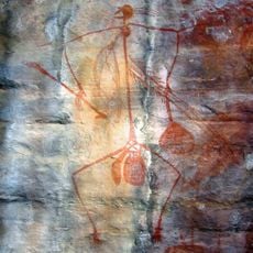
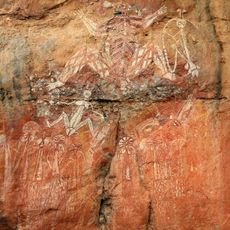
Aboriginal rock painting
107.9 km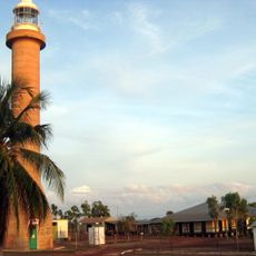
Garig Gunak Barlu National Park
169.6 km
Arafura Swamp
182.4 km
Mount Bundey Training Area
165.7 km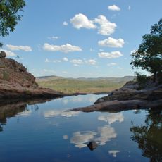
Gunlom Falls
147.6 km
Territory Wildlife Park
256.2 km
Cape Don Light
212.9 km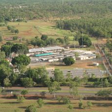
Northern Immigration Detention Centre
263.2 km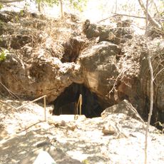
Cutta Cutta Caves Nature Park
254.4 km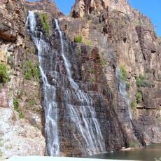
Twin Falls
114 km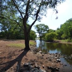
Djukbinj National Park
225.5 km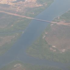
Elizabeth River Bridge
256.3 km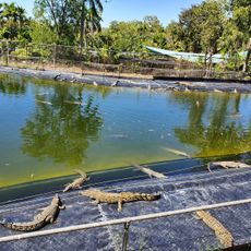
Crocodylus Park
261.5 km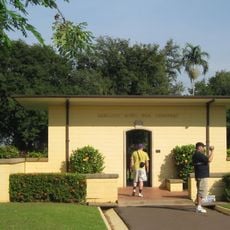
Adelaide River War Cemetery
256 km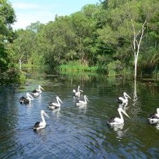
Territory Wildlife Park
256.2 km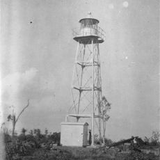
Cape Hotham Light
226.8 km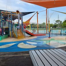
Leanyer Recreation Park
263.8 km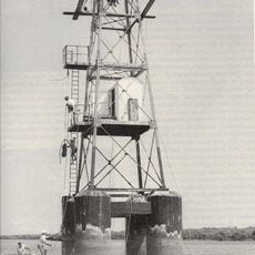
East Vernon Light
247 km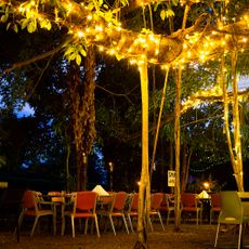
Litchfield Banyan Tree Resort
264 km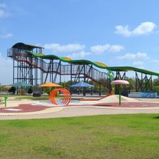
Palmerston Water Park
255.5 km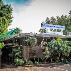
Butterfly Farm Sanctuary
259.4 kmReviews
Visited this place? Tap the stars to rate it and share your experience / photos with the community! Try now! You can cancel it anytime.
Discover hidden gems everywhere you go!
From secret cafés to breathtaking viewpoints, skip the crowded tourist spots and find places that match your style. Our app makes it easy with voice search, smart filtering, route optimization, and insider tips from travelers worldwide. Download now for the complete mobile experience.

A unique approach to discovering new places❞
— Le Figaro
All the places worth exploring❞
— France Info
A tailor-made excursion in just a few clicks❞
— 20 Minutes