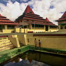
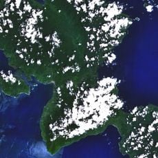
Sorong, Administrative territory in Southwest Papua, Indonesia
Sorong is a regency in Southwest Papua that stretches across land surrounding Sorong City, with Aimas serving as its administrative center. The territory is divided into districts with multiple villages and offers direct access to Sorong Airport.
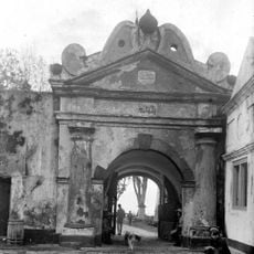
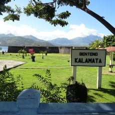
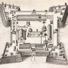
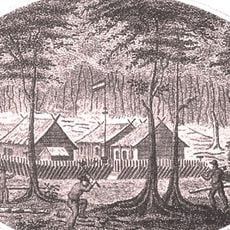
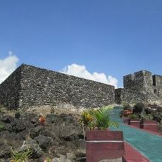
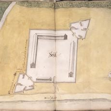
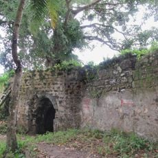
The regency took shape during early colonial times when European settlers arrived and established administrative boundaries. The later discovery of petroleum deposits in the region became significant to its economic development.
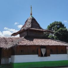
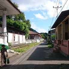
Local communities here maintain their own customs and speak native languages like Tehit and Inanwatan in daily life. This linguistic diversity shapes how different groups live and interact within the territory.
Access to the region is straightforward through Sorong Airport, which serves as the main transportation hub. It helps to familiarize yourself with the layout of different districts to explore the area more effectively.
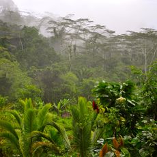
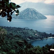
This area experiences heavier rainfall during certain seasons due to specific wind patterns that differ from the rest of Indonesia. The unusual weather cycle here results from localized wind circulation.
Location: Southwest Papua
Location: Papua
Capital city: Aimas
Elevation above the sea: 74 m
Shares border with: Sorong, Raja Ampat, South Sorong, Maybrat, Tambrauw
Website: https://sorongkab.go.id
GPS coordinates: -1.10000,131.51667
Latest update: December 7, 2025 10:07
Fort Duurstede
420.6 km
Teluk Cenderawasih National Park
420.7 km
Red-White Bridge
466.4 km
Mount Binaiya
325.3 km
Sultan of Ternate Mosque
506.1 km
Fort of Our Lady of the Annunciation
469.9 km
Fort Belgica
421.7 km
Fort Amsterdam
471.4 km
Manusela National Park
317.5 km
Fort Oranje
505.7 km
Wapauwe Old Mosque
471.5 km
Makian
488.7 km
Fort Kalamata
505.7 km
Fort Nassau
421.9 km
Aketajawe-Lolobata National Park
440 km
Fort Du Bus
412.8 km
Amasing Hill
451.7 km
Helen Reef
446.4 km
St. Francis Xavier Cathedral, Ambon
469.9 km
Arfak Reserve
291.9 km
Pattimura Stadium
468.4 km
Fort Tidore
493.7 km
Maitara
504.3 km
Rumah Budaya Banda Neira
421.7 km
Fort Ceith
476.9 km
Fort Hollandia
424.7 km
Fort Mariecque
502.1 km
Fort Barneveld
452.2 kmVisited this place? Tap the stars to rate it and share your experience / photos with the community! Try now! You can cancel it anytime.
Discover hidden gems everywhere you go!
From secret cafés to breathtaking viewpoints, skip the crowded tourist spots and find places that match your style. Our app makes it easy with voice search, smart filtering, route optimization, and insider tips from travelers worldwide. Download now for the complete mobile experience.
A unique approach to discovering new places❞
— Le Figaro
All the places worth exploring❞
— France Info
A tailor-made excursion in just a few clicks❞
— 20 Minutes