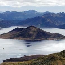
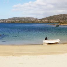
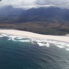
Port Davey, Ocean inlet in southwest Tasmania, Australia
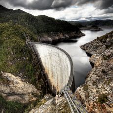
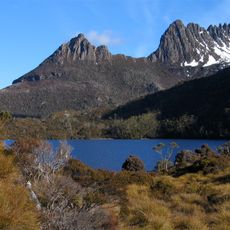
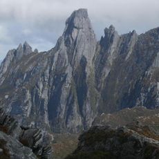
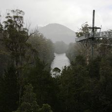
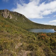
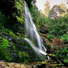
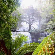
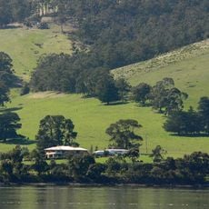
Port Davey is an inlet extending deep into Tasmania's southwestern wilderness, bordered by steep mountains and fed by river systems that empty into Bathurst Harbour. The waters create a complex network of channels and coves surrounded by ancient forest.
Marion du Fresne first recorded the inlet in 1772, with Matthew Flinders mapping it in 1798 during his Pacific voyage. James Kelly later named it after Lieutenant Governor Thomas Davey, establishing the place name that remains today.
The Toogee, Tasmania's first inhabitants, named this place Poynduc, creating a lasting connection to the land that predates European arrival by centuries. This indigenous presence shapes how locals understand and speak about the waterways today.
Getting here requires careful navigation of the Bathurst Channel, especially as tides shift and weather changes rapidly in this exposed area. Plan your visit during daylight and when conditions are calm to move safely through the waters.
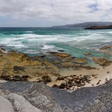
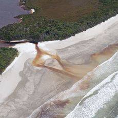
The waters display an unusual layering where dark tannin-stained freshwater flows visibly over ocean saltwater from the Southern Ocean. This creates distinct color boundaries that visitors can observe, revealing how two water systems coexist without fully mixing.
The community of curious travelers
AroundUs brings together thousands of curated places, local tips, and hidden gems, enriched daily by 60,000 contributors worldwide.