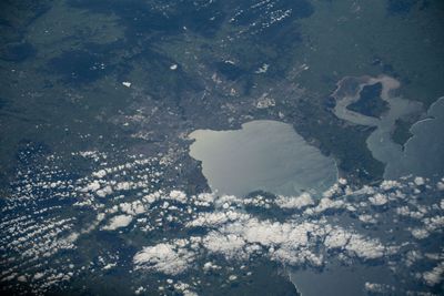
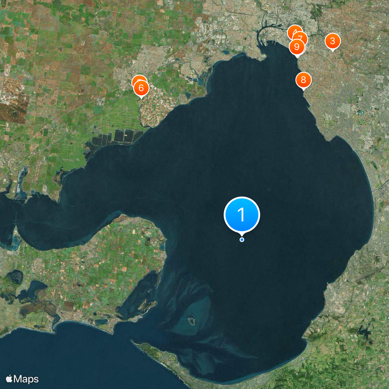
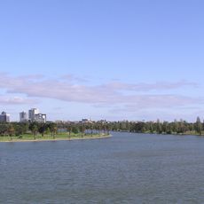
Port Phillip, Horsehead-shaped bay in Victoria, Australia.
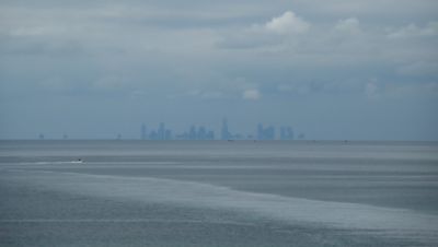
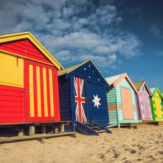
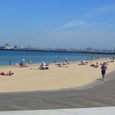
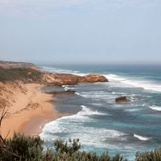
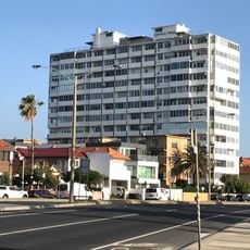
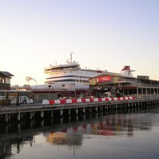
Port Phillip is a large bay along the coast of Victoria, partly separated from the open ocean by a long peninsula and containing several smaller bays and beaches. Its shores stretch across wide sections and connect different towns along the water.
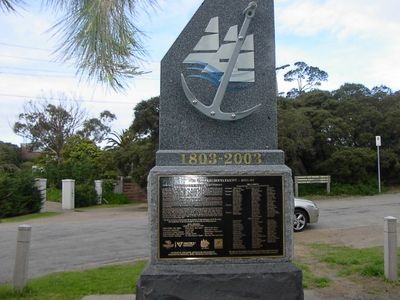
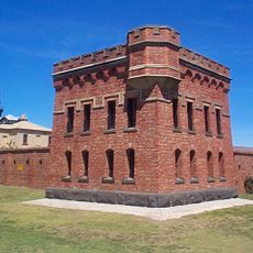
The bay was reached by John Murray in 1802, who initially used a different name before it was called after Arthur Phillip. European settlement of the shoreline areas began in the following decades and changed the use of the space fundamentally.
The Wathaurong, Wurundjeri, and Boonwurrung peoples of the Kulin nation maintained strong connections to these waters before European settlement.
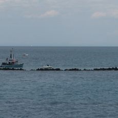
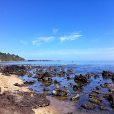
Access to the open ocean passes through a narrow channel that sometimes has strong currents and requires caution. Along the shores there are many spots from which to observe the water or take walks.
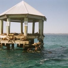
The shape of the bay from above resembles a horse head and makes it easily recognizable on maps. Different kinds of marine animals use the area as a temporary stop during their migrations along the coast.
The community of curious travelers
AroundUs brings together thousands of curated places, local tips, and hidden gems, enriched daily by 60,000 contributors worldwide.