Merri Creek, Urban waterway in northern Melbourne, Australia.
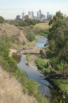
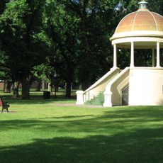
Merri Creek is an urban river in northern Melbourne extending roughly 70 kilometers from its source near Wallan through the city's suburbs to where it joins the Yarra River at Dights Falls. The creek valley features rocky sections alongside gentler stretches with vegetation, bushland, and scattered trees adapted to the surrounding suburban landscape.
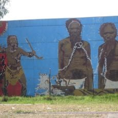
The creek area saw one of Australia's first land agreements signed between European settlers and Indigenous Australians in 1835. This early accord shows how the region became part of initial colonial contact and land negotiations with Aboriginal peoples.
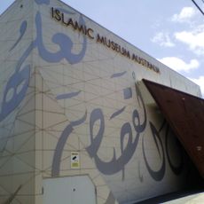
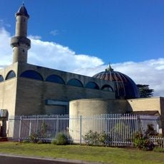
The name comes from the Woiwurrung language, reflecting the rocky nature of the waterway through the perspective of Australian Indigenous people. Today visitors and locals from many backgrounds use the creek for daily activities and connect with its land and water heritage.
A continuous path called the Merri Creek Trail runs along the waterway for walking and cycling, linking sports grounds, playgrounds, and other recreation facilities together. Visitors should know that paths become rougher in more rural sections, while stretches closer to Melbourne tend to be paved and more level.
The creek valley was shaped by ancient volcanic activity, with lava flows from eruptions millions of years ago creating the present-day valley structure. While this geological history is not immediately obvious, the rocks in the valley reveal this very old formation.
The community of curious travelers
AroundUs brings together thousands of curated places, local tips, and hidden gems, enriched daily by 60,000 contributors worldwide.