Chest opened
+${chestReward.xp} XP
Explorer
NOUVEAU ×${chestReward.collectible.quantity}
tapez pour fermer
Chest locked

Open chests in the app

Around Us is built for your phone — chests unlock when you walk, explore and capture nearby places.

Enable Location

We need your location to show you interesting places around you

Discover nearby places

Find interesting locations and hidden gems around you

Precise directions

Get accurate directions and distances to places

Your location is never shared with other users. It's only used when you tap the location button.

Hoddle Grid

Log in to your account

Start exploring — it's free

Trusted by 72,890 travelers worldwide

Continue with Google
Continue with Apple
or

We will send you a code to connect

By continuing, you accept our Terms and Conditions and our Privacy Policy

Check your inbox

We've sent a pincode in your inbox. Please enter the code below.

Hoddle Grid
Discussion Reviews 1 Photos
26.5k Popularity

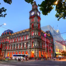
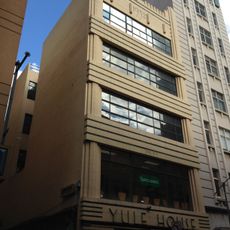
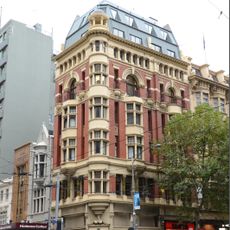
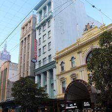
Hoddle Grid, Urban planning district in central Melbourne, Australia

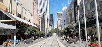
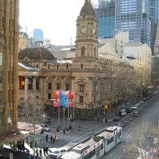
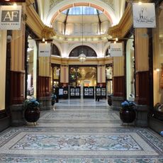
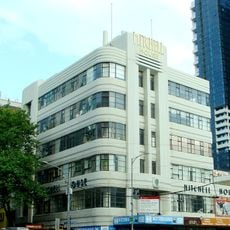
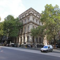
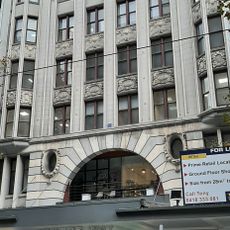
The Hoddle Grid is a rectangular street network forming Melbourne's central business district with a clear, organized layout. The regular blocks are cut through by laneways that provide access to theaters, museums, and commercial areas.

Robert Hoddle designed this structured street network in 1837 when Melbourne was still a small settlement, laying the foundation for the modern city. This planning allowed the settlement to grow in an organized way and concentrate commerce and administration in one place.

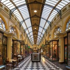
The laneways threading between streets contain theaters, museums, and shops that reflect how the city has grown through different eras. Walking through these spaces, visitors encounter layers of Melbourne's past visible in how buildings and public areas are used today.

The area is well served by public transportation, with multiple tram, train, and bus lines running through the center. Visitors can easily navigate on foot between different attractions and shops, as the regular street layout provides clear orientation.

The grid's orientation runs parallel to the Yarra River, a choice that allowed early settlers to benefit from fresh water and shipping routes. This deliberate design set it apart from the more random street patterns typical of city development at that time.

The community of curious travelers

AroundUs brings together thousands of curated places, local tips, and hidden gems, enriched daily by 60,000 contributors worldwide.

Start exploring
Location
GPS coordinates
-37.81417,144.96306
Latest update
March 5, 2026 21:06
Reviews
Share your experience

No review yet

Discussions
Start a discussion...

No discussion yet

« Hoddle Grid - Urban planning district in central Melbourne, Australia » is provided by Around Us (aroundus.com). Images and texts are derived from Wikimedia project under a Creative Commons license. You are allowed to copy, distribute, and modify copies of this page, under the conditions set by the license, as long as this note is clearly visible.

Discover hidden gems everywhere you go!

From secret cafés to breathtaking viewpoints, skip the crowded tourist spots and find places that match your style. Our app makes it easy with voice search, smart filtering, route optimization, and insider tips from travelers worldwide. Download now for the complete mobile experience.

Around Us App Screenshot

A unique approach to discovering new places

Le Figaro

All the places worth exploring

France Info

A tailor-made excursion in just a few clicks

20 Minutes

Around Us
Travel Guide & Maps
Download

Send to your phone

QR Code
1

Open the camera app on your mobile.

2

Point at the QR code with your camera. A notification will appear.

3

Tap the notification to open the link.