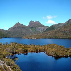
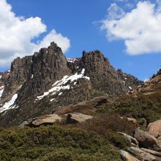
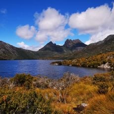
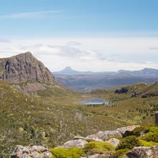
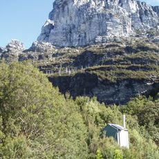
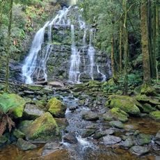
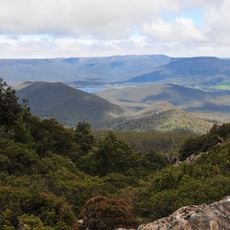
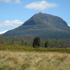
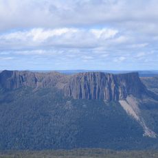
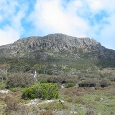
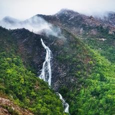
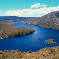
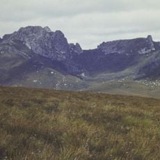
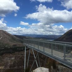
Lake St Clair, Glacial lake in Cradle Mountain-Lake St Clair National Park, Tasmania.
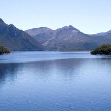
Lake St Clair is a natural freshwater lake in Tasmania's Central Highlands, about 14.5 km long and 1.6 km wide, with a surface at 737 m above sea level. It fills a valley carved by glaciers and forms the southern end of Cradle Mountain-Lake St Clair National Park. Its deepest point, measured at 163 m in 2025, makes it Australia's deepest lake.
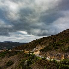
Lake St Clair was formed by glacial erosion, and the surrounding button grass plains hold evidence of Aboriginal occupation dating back 10,000 years. Surveyor William Sharland was the first European to see the lake in 1832, followed by George Frankland's expedition three years later. In 1840 James Calder cut a track from the lake to Macquarie Harbour, later replaced by a more practical route that became the Lyell Highway. The area was declared a scenic reserve in 1922, a national park in 1947 and a World Heritage area in 1982.
The lake lies at the edge of the Big River Aboriginal nation, and the name Leeawuleena (also written leeawuleena) is used alongside Lake St Clair. Evidence of hunting on the surrounding button grass plains survives, and the closest dated sites place human occupation here around 10,000 years ago.
The lake sits at the end of a mountain road, with a small settlement and accommodation right on the shore at Cynthia Bay. Ferries cross the water for hikers, and visitors should prepare for cool weather and changeable conditions.
The water from this lake flows into the Derwent River, a major waterway of the region. This makes it a key point where the Tasmanian Highlands drainage begins.
The community of curious travelers
AroundUs brings together thousands of curated places, local tips, and hidden gems, enriched daily by 94,209 contributors worldwide.