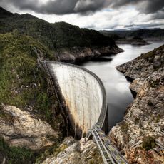
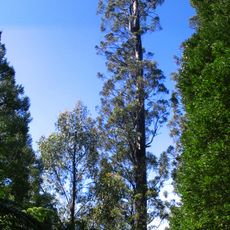
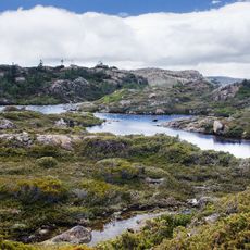
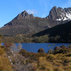
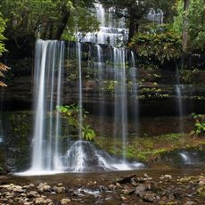
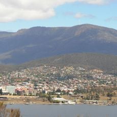
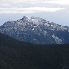
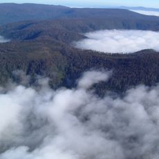
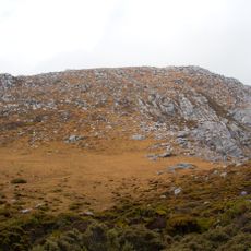
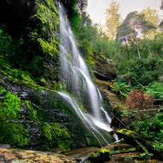
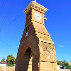
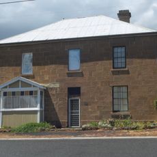
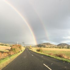
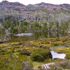
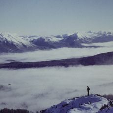
Derwent Valley, local government area in Tasmania
Phone: +61362618500
Email: dvcouncil@dvc.tas.gov.au
Website: https://derwentvalley.tas.gov.au
GPS coordinates: -42.80310,146.54404
Latest update: March 4, 2025 08:53
Gordon Dam
47.1 km
Centurion
35.6 km
Lake Pedder
36.5 km
Mount Field National Park
19 km
Tasmanian Wilderness
20.9 km
Russell Falls
19.7 km
Southwest National Park
32.4 km
Lake Gordon
31.8 km
Tahune Airwalk
35.7 km
Bridgewater Bridge
56.1 km
Mount Anne
18.4 km
Horseshoe Falls
19.7 km
Lady Barron Falls
17.6 km
Scotts Peak
31.2 km
Wellington Park
51.2 km
Cathedral Rock, Tasmania
54.9 km
Mount Misery
42.3 km
The Cupola
42.8 km
Salmon Ponds
35.2 km
Chutes Marriott
13.6 km
North Star
39.5 km
Station Park
61.7 km
Former Langdon Store
36 km
On the way Cradle Mountain
52.9 km
Mount Field, Tasmania
20.4 km
Denison Range, viewed from the Needles
10.9 km
Road height Clearance
34 km
Russell Falls, Tasmania
11.7 kmReviews
Visited this place? Tap the stars to rate it and share your experience / photos with the community! Try now! You can cancel it anytime.
Discover hidden gems everywhere you go!
From secret cafés to breathtaking viewpoints, skip the crowded tourist spots and find places that match your style. Our app makes it easy with voice search, smart filtering, route optimization, and insider tips from travelers worldwide. Download now for the complete mobile experience.
A unique approach to discovering new places❞
— Le Figaro
All the places worth exploring❞
— France Info
A tailor-made excursion in just a few clicks❞
— 20 Minutes