Chest opened
+${chestReward.xp} XP
Explorer
NOUVEAU ×${chestReward.collectible.quantity}
tapez pour fermer
Chest locked

Open chests in the app

Around Us is built for your phone — chests unlock when you walk, explore and capture nearby places.

Enable Location

We need your location to show you interesting places around you

Discover nearby places

Find interesting locations and hidden gems around you

Precise directions

Get accurate directions and distances to places

Your location is never shared with other users. It's only used when you tap the location button.

Log in to your account

Start exploring — it's free

Trusted by 72,885 travelers worldwide

Continue with Google
Continue with Apple
or

We will send you a code to connect

By continuing, you accept our Terms and Conditions and our Privacy Policy

Check your inbox

We've sent a pincode in your inbox. Please enter the code below.

Great Dividing Trail
Discussion Reviews Photo
3.1k Popularity

Great Dividing Trail, Long-distance hiking network in Victoria, Australia

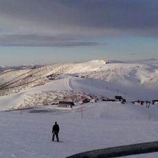
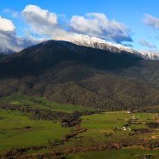
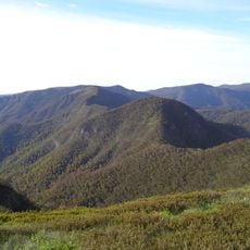
The Great Dividing Trail is a hiking network that stretches across about 304 kilometers through varied landscapes in western Victoria. The system consists of five marked sections including the Lerderderg, Eureka, Wallaby, Dry Diggings, and Leanganook Tracks.

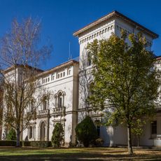
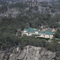
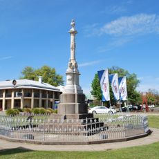
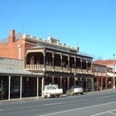
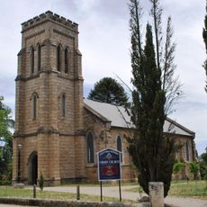
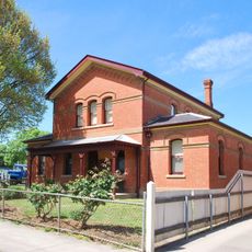
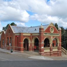
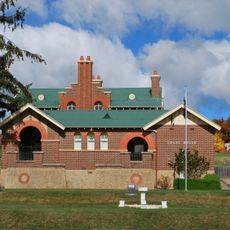
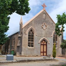
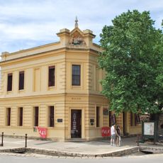
The trail network crosses the historic Goldfields region, where the world's largest gold rush transformed the Australian landscape during the 1850s. Many towns along the route developed as mining settlements and still show signs of that era.

The trail passes through land that holds deep meaning for Aboriginal communities who have inhabited this region for thousands of years. Guided walks along the route share traditional stories and reveal connections between people and country.

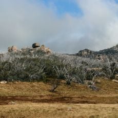
The sections require varying fitness levels and can be visited individually or combined together. Trail markers help with navigation, but carrying water and wearing appropriate footwear are important, especially for longer walks.

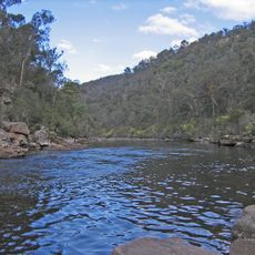
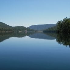
The Dry Diggings Track runs about 58 kilometers from Daylesford to Castlemaine while following natural mineral springs. This section reveals Victoria's heritage of thermal waters that visitors can discover along the way.

The community of curious travelers

AroundUs brings together thousands of curated places, local tips, and hidden gems, enriched daily by 60,000 contributors worldwide.

Start exploring
Location
GPS coordinates
-37.03640,146.92100
Latest update
December 12, 2025 09:07
Reviews
Share your experience

No review yet

Discussions
Start a discussion...

No discussion yet

« Great Dividing Trail - Long-distance hiking network in Victoria, Australia » is provided by Around Us (aroundus.com). Images and texts are derived from Wikimedia project under a Creative Commons license. You are allowed to copy, distribute, and modify copies of this page, under the conditions set by the license, as long as this note is clearly visible.

Discover hidden gems everywhere you go!

From secret cafés to breathtaking viewpoints, skip the crowded tourist spots and find places that match your style. Our app makes it easy with voice search, smart filtering, route optimization, and insider tips from travelers worldwide. Download now for the complete mobile experience.

Around Us App Screenshot

A unique approach to discovering new places

Le Figaro

All the places worth exploring

France Info

A tailor-made excursion in just a few clicks

20 Minutes

Around Us
Travel Guide & Maps
Download

Send to your phone

QR Code
1

Open the camera app on your mobile.

2

Point at the QR code with your camera. A notification will appear.

3

Tap the notification to open the link.