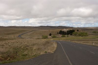
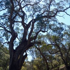
Rock Flat Creek, Creek in Monaro region, New South Wales, Australia.
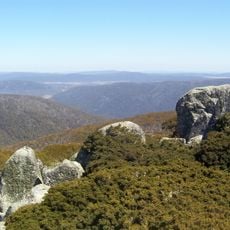
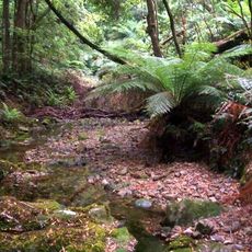
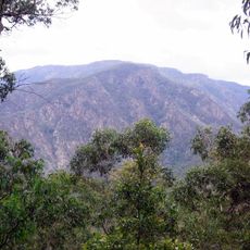
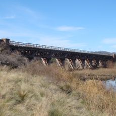
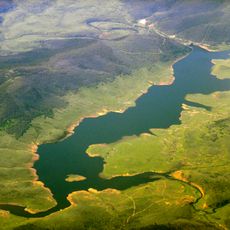
Rock Flat Creek is a waterway in the Monaro region that flows northwest and receives water from various tributaries. The creek cuts through rolling terrain with steep banks and rocky sections before joining Cooma Creek and the Numeralla River.
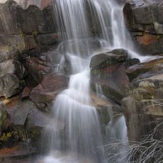
The creek was recognized as part of regional water systems during early European settlement of the area. In the late 1800s, investigators began examining the natural mineral springs, documenting the chemical composition of the water that emerged from the ground.
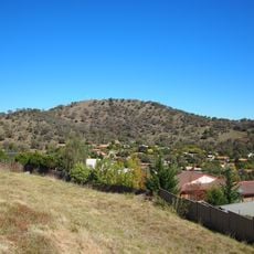
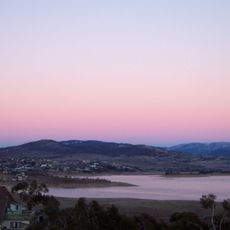
The creek serves as habitat for native fish species and plays a role in the regional water systems that support local communities. Visitors walking along the banks can observe how the waterway shapes the landscape and supports wildlife in this rural region.
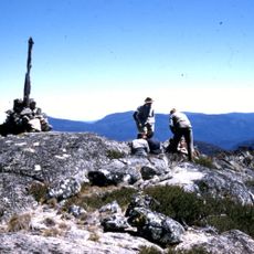
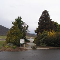
The creek is most easily reached from the Monaro Highway near the locality of Milton Park. The area is accessible on foot, though the terrain is uneven with steep sections, so sturdy footwear is recommended.
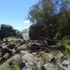
A natural mineral spring along the creek bank produces carbonated water that flows from quartzite rock formations. This spring was the subject of scientific study more than a century ago and continues to draw visitor attention today.
The community of curious travelers
AroundUs brings together thousands of curated places, local tips, and hidden gems, enriched daily by 60,000 contributors worldwide.