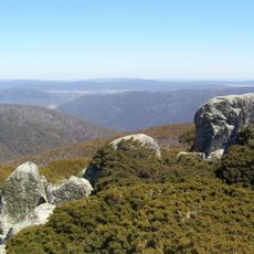
Bimberi Peak, Mountain summit in Brindabella Ranges, Australia
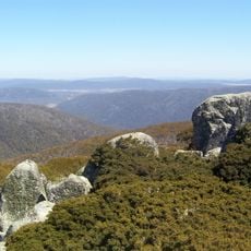
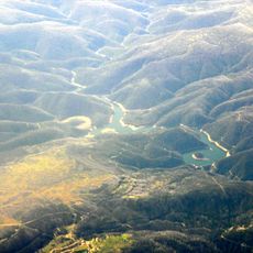
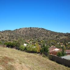
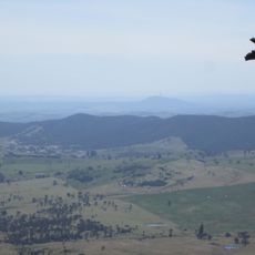
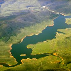
Bimberi Peak is the highest summit in the Australian Capital Territory, located on the border with New South Wales at 1,913 meters (6,273 feet) above sea level. It rises within the Brindabella Ranges, a mountain chain that forms the western edge of the territory.
The lands around the peak have been home to the Ngunnawal, Walgalu, and Djimantan peoples for thousands of years, long before European explorers reached this part of southeastern Australia. In the 19th century, surveyors mapped the Brindabella Ranges and formally recorded the summit as part of broader efforts to chart the Australian Alps.
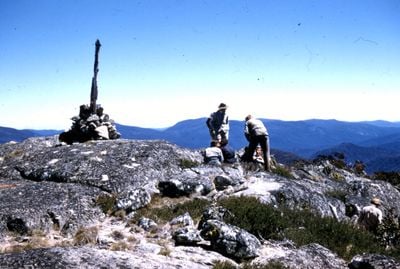
The name Bimberi comes from the language of the Aboriginal peoples who lived in this region for thousands of years before European settlement. Today, walkers who reach the top often pause at the surveyor's mark, which has become a quiet landmark for those completing the route.
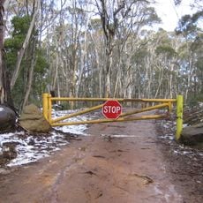
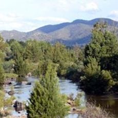
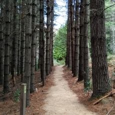
Reaching the summit requires solid fitness and typically takes three full days from the Orroral Valley trailhead, with steep sections along the way. Mountain weather can shift without warning, so layered clothing and sturdy footwear are worth preparing before setting out.
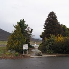
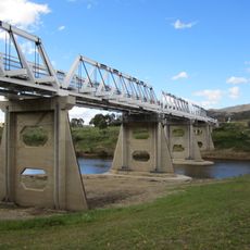
Although Bimberi Peak is the highest point in its territory, it lies entirely within a nature reserve, meaning no roads or built facilities come anywhere close to it. This makes the summit one of the more remote high points in Australia, accessible only on foot.
The community of curious travelers
AroundUs brings together thousands of curated places, local tips, and hidden gems, enriched daily by 60,000 contributors worldwide.