Mount Ginini, Mountain summit in Venterman, Australian Capital Territory
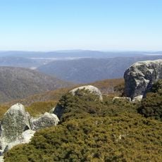
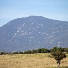
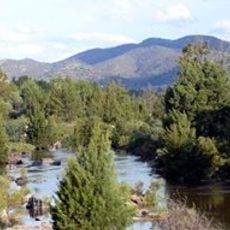
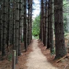
Mount Ginini is a 1,762 meter summit in the Brindabella Range, covered by snow gum woodlands and eucalyptus forests that vary with elevation. The vegetation changes as you climb, creating distinct zones across the mountainside.
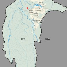
Mount Ginini lies on the ACT–New South Wales border, with its summit inside the ACT, where it ranks as the territory's seventh-highest peak at 1,762 metres. The ACT slopes fall within Bimberi Nature Reserve and Namadgi National Park, the NSW side within Kosciuszko National Park. Its summit also carries an Airservices Australia installation and the VK1RGI amateur radio repeater.
The mountain lies within Namadgi National Park, established in 1984, and Bimberi Nature Reserve, both part of the traditional lands of the Ngunnawal people. The name Ginini comes from the Aboriginal word for the area, and the nearby Ginini Flats Wetlands were listed as a Ramsar site in 1996.
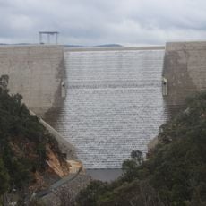
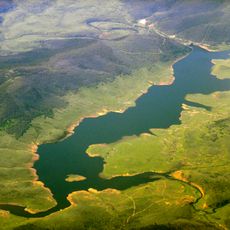
The usual route leaves from the Corin Dam car park and takes a few hours of walking to reach the 1,762 m summit. The top lies within Bimberi Nature Reserve and Namadgi National Park, and the mountain has a subpolar oceanic climate with cold, very snowy winters, so carry water and weatherproof layers.
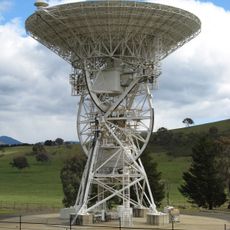
The summit hosts an Airservices Australia facility for the AERIES communications network that relays messages between air traffic control and aircraft. Most visitors are unaware of this working infrastructure at the top.
The community of curious travelers
AroundUs brings together thousands of curated places, local tips, and hidden gems, enriched daily by 94,411 contributors worldwide.