Enable Location

We need your location to show you interesting places around you

Discover nearby places

Find interesting locations and hidden gems around you

Precise directions

Get accurate directions and distances to places

Your location is never shared with other users. It's only used when you tap the location button.

Orroral Valley Tracking Station

Log in to your account

Start exploring — it's free

Trusted by 65,308 travelers worldwide

Continue with Google
Continue with Apple
or

We will send you a code to connect

By continuing, you accept our Terms and Conditions and our Privacy Policy

Check your inbox

We've sent a pincode in your inbox. Please enter the code below.

Orroral Valley Tracking Station
Discussion Reviews 1 Photos
3.5k Popularity

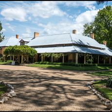
Orroral Valley Tracking Station, Space tracking station in Rendezvous Creek, Australia.

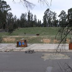
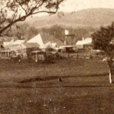
Orroral Valley Tracking Station is a former ground station for space tracking in Namadgi National Park, Australian Capital Territory. Concrete foundations, antenna bases, and other structural remains are still visible across the site today.

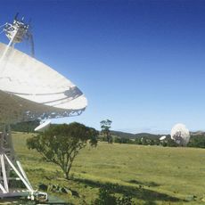
The station was set up in 1965 as part of NASA's global network of ground stations for tracking Earth-orbiting satellites. It closed in 1985 after two decades of operation, as changes in technology reduced the need for such remote sites.

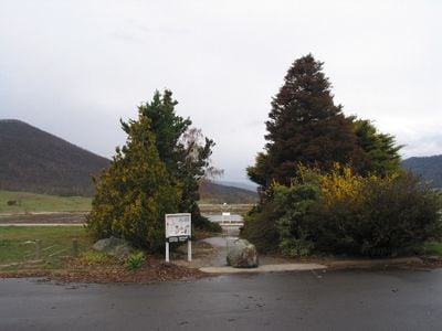
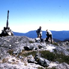
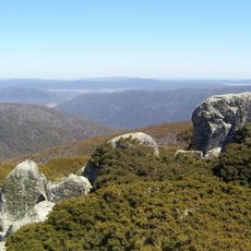
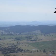
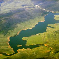
The name comes from Orroral Valley, a remote highland area chosen partly because its distance from city lights and radio interference made it well suited for tracking signals from orbit. Visitors walking among the concrete remains can still read the information panels that explain what each structure was used for.

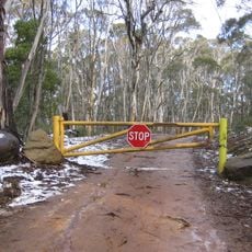
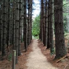
The site is reached by marked trails within Namadgi National Park, and information panels on the ground help orient visitors among the remains. Good footwear is recommended, and it is worth setting aside enough time to walk through the area without rushing.

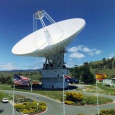
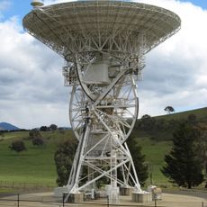
The large 26-meter (85-foot) antenna that was the centrepiece of the station was moved to Tasmania after closure and still works today at Mount Pleasant Radio Observatory. A piece of this site is therefore still active in research, just very far from where it originally stood.

The community of curious travelers

AroundUs brings together thousands of curated places, local tips, and hidden gems, enriched daily by 60,000 contributors worldwide.

Start exploring
Inception
1965
GPS coordinates
-35.62860,148.95600
Latest update
March 3, 2026 13:58
Reviews
Share your experience

No review yet

Discussions
Start a discussion...

No discussion yet

« Orroral Valley Tracking Station - Space tracking station in Rendezvous Creek, Australia » is provided by Around Us (aroundus.com). Images and texts are derived from Wikimedia project under a Creative Commons license. You are allowed to copy, distribute, and modify copies of this page, under the conditions set by the license, as long as this note is clearly visible.

Discover hidden gems everywhere you go!

From secret cafés to breathtaking viewpoints, skip the crowded tourist spots and find places that match your style. Our app makes it easy with voice search, smart filtering, route optimization, and insider tips from travelers worldwide. Download now for the complete mobile experience.

Around Us App Screenshot

A unique approach to discovering new places

Le Figaro

All the places worth exploring

France Info

A tailor-made excursion in just a few clicks

20 Minutes

Around Us
Travel Guide & Maps
Download

Send to your phone

QR Code
1

Open the camera app on your mobile.

2

Point at the QR code with your camera. A notification will appear.

3

Tap the notification to open the link.