
Bimberi Wilderness, park in Australian Capital Territory, Australia
Location: Australian Capital Territory
Elevation above the sea: 1,625 m
GPS coordinates: -35.69861,148.86778
Latest update: September 30, 2025 17:40
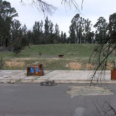
Honeysuckle Creek Tracking Station
16.2 km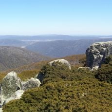
Namadgi National Park
10.8 km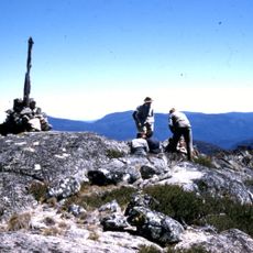
Bimberi Peak
8.2 km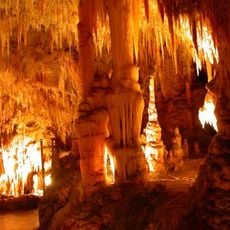
Yarrangobilly Caves
34.1 km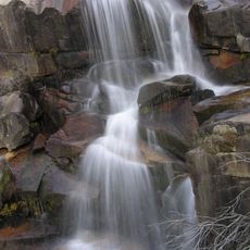
Gibraltar Falls
24.3 km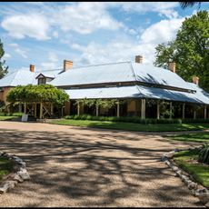
Lanyon Homestead
27.8 km
Mount Tennent
23 km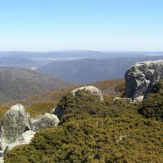
Mount Ginini
20.7 km
Tuggeranong Town Centre
36.1 km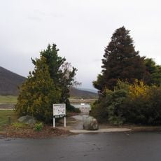
Orroral Valley Tracking Station
11.2 km
Mount Franklin
25.2 km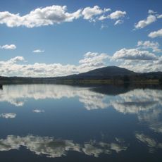
Lake Tuggeranong
37 km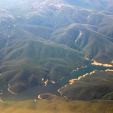
Corin Dam
28.2 km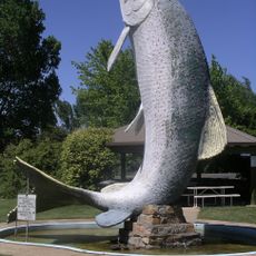
Big Trout
34.3 km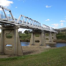
Tharwa Bridge
28 km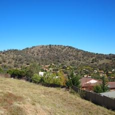
Tuggeranong Hill
34.9 km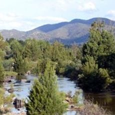
Pine Island Reserve
34.8 km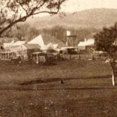
Tuggeranong Homestead
37 km
Snowy Scheme Museum
34.4 km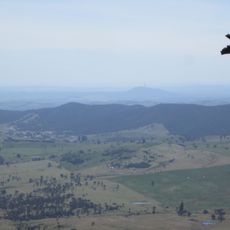
Gibraltar Peak (Canberra)
27.7 km
Southern Cross Stadium, Tuggeranong
36.2 km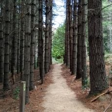
Bendora Arboretum
31.3 km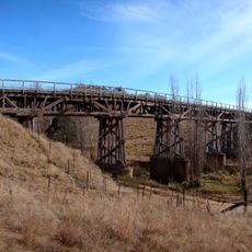
Ingalara Creek railway bridge, Michelago
30.9 km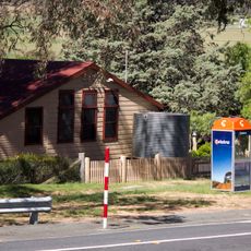
Tharwa Primary School
27.8 km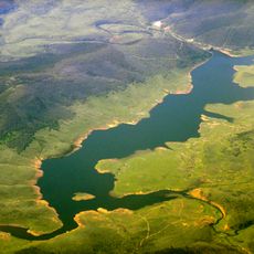
Tantangara Reservoir
20.7 km
Lanyon Homestead
29.7 km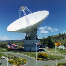
DSS 43
34.5 km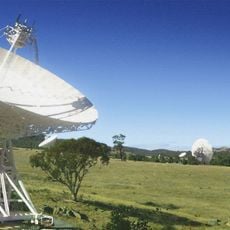
DSS 35
35.2 kmReviews
Visited this place? Tap the stars to rate it and share your experience / photos with the community! Try now! You can cancel it anytime.
Discover hidden gems everywhere you go!
From secret cafés to breathtaking viewpoints, skip the crowded tourist spots and find places that match your style. Our app makes it easy with voice search, smart filtering, route optimization, and insider tips from travelers worldwide. Download now for the complete mobile experience.

A unique approach to discovering new places❞
— Le Figaro
All the places worth exploring❞
— France Info
A tailor-made excursion in just a few clicks❞
— 20 Minutes