Lake Waikaremoana, Natural lake in Te Urewera, New Zealand
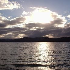
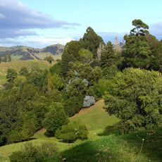
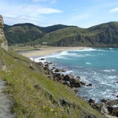
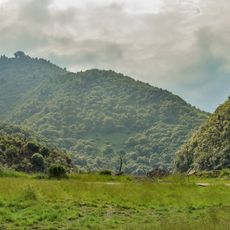
Lake Waikaremoana is a large natural lake in Te Urewera, spanning about 54 square kilometers with depths reaching around 256 meters at its deepest point. Steep forested shores frame the water, and small islands and bays create varied shorelines throughout the lake.
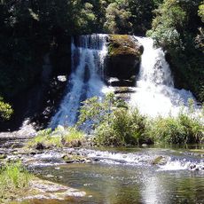
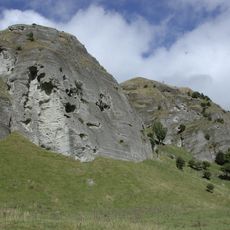
The lake formed around 2,200 years ago when a massive landslide created a natural dam in the Waikaretaheke River valley. This geological event reshaped the landscape and established the body of water that defines the area today.
The name comes from the Māori language and refers to the rippling waters that make this a sacred place for the Ngai Tuhoe people. The lake holds deep spiritual meaning for local communities and shapes how people relate to this landscape today.
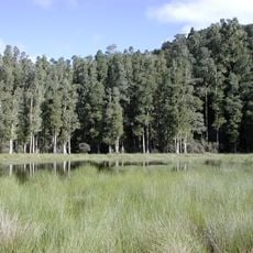
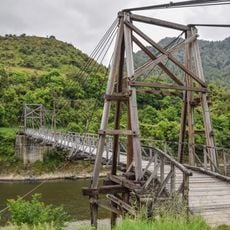
The lake is accessible via State Highway 38, with several Department of Conservation huts positioned along the lakeside walking track. Visitors should prepare for changing weather and wear sturdy footwear, as the terrain and paths can be challenging.
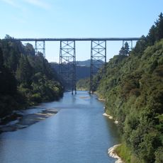
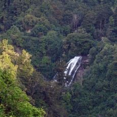
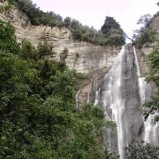
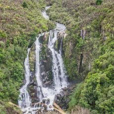
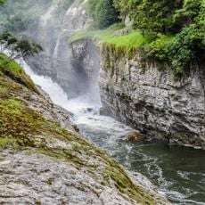
The Waikaremoana Hydroelectric Power Scheme is built on the world's only natural landslide dam used for electricity generation, a rare combination of geology and infrastructure. This system demonstrates how the landscape itself became part of modern energy production.
The community of curious travelers
AroundUs brings together thousands of curated places, local tips, and hidden gems, enriched daily by 60,000 contributors worldwide.