Chest opened
+${chestReward.xp} XP
Explorer
NOUVEAU ×${chestReward.collectible.quantity}
tapez pour fermer
Chest locked

Open chests in the app

Around Us is built for your phone — chests unlock when you walk, explore and capture nearby places.

Enable Location

We need your location to show you interesting places around you

Discover nearby places

Find interesting locations and hidden gems around you

Precise directions

Get accurate directions and distances to places

Your location is never shared with other users. It's only used when you tap the location button.

Oberon

Log in to your account

Start exploring — it's free

Trusted by 72,876 travelers worldwide

Continue with Google
Continue with Apple
or

We will send you a code to connect

By continuing, you accept our Terms and Conditions and our Privacy Policy

Check your inbox

We've sent a pincode in your inbox. Please enter the code below.

Discussion Reviews 2 Photos
22.6k Popularity

Oberon, Local government area in New South Wales, Australia

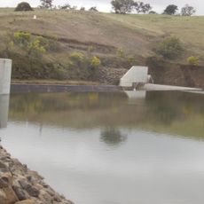
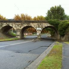
Oberon is an administrative region in the Central West of New South Wales that covers a large area and includes several small towns and settlements. It is managed by a local council that handles essential services like water supply and maintains roads and community facilities.

Oberon was established as an administrative area to organize local governance in the developing Central West region. This structure allowed services and infrastructure to develop in what was once a remote part of the state.

Oberon is a place where the local community chooses representatives through elections and participates in decisions that affect daily life. This direct engagement with governance shapes how people relate to their region and each other.

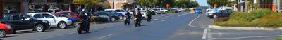
This region features scattered settlements connected by roads, so having a vehicle makes exploring much easier given the distances between towns. Basic services and facilities are available, though visitors should plan ahead as amenities may be spread out.

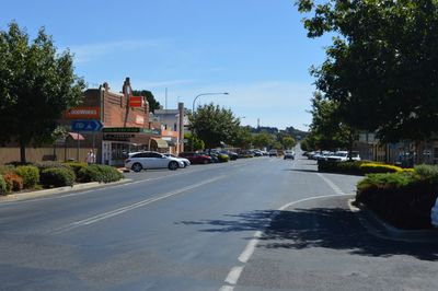
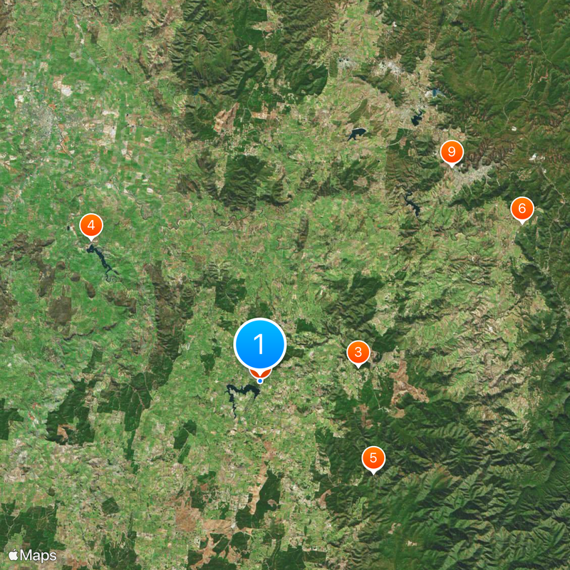
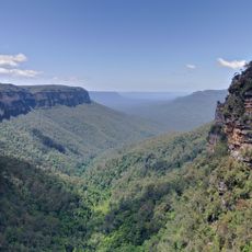
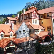
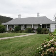
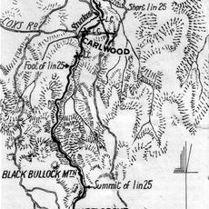
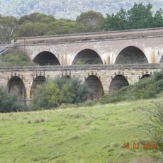
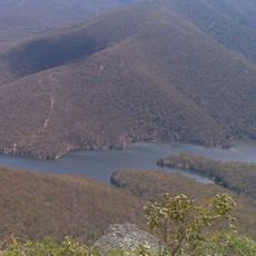
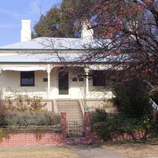
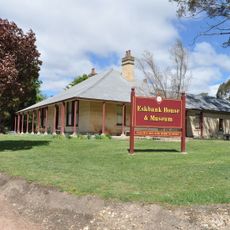
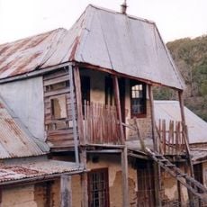
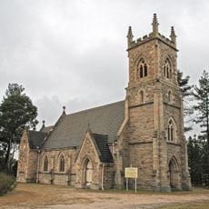
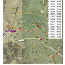
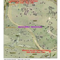
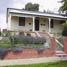
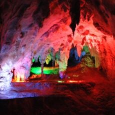
The region includes several distinct localities such as Shooters Hill, Mount David, and Jenolan, each with its own local character and surroundings. This patchwork of separate communities gives the area a varied personality rather than a unified appearance.

The community of curious travelers

AroundUs brings together thousands of curated places, local tips, and hidden gems, enriched daily by 60,000 contributors worldwide.

Start exploring
Location
Location
Location
Elevation above the sea
1,104 m
Shares border with
O'Connell, Mayfield, Norway, Hazelgrove, Edith, Duckmaloi, Tarana, Wisemans Creek, Essington, Chatham Valley, Mozart
GPS coordinates
-33.71667,149.86667
Latest update
March 4, 2026 16:16
Reviews
Share your experience

No review yet

Discussions
Start a discussion...

No discussion yet

« Oberon - Local government area in New South Wales, Australia » is provided by Around Us (aroundus.com). Images and texts are derived from Wikimedia project under a Creative Commons license. You are allowed to copy, distribute, and modify copies of this page, under the conditions set by the license, as long as this note is clearly visible.

Discover hidden gems everywhere you go!

From secret cafés to breathtaking viewpoints, skip the crowded tourist spots and find places that match your style. Our app makes it easy with voice search, smart filtering, route optimization, and insider tips from travelers worldwide. Download now for the complete mobile experience.

Around Us App Screenshot

A unique approach to discovering new places

Le Figaro

All the places worth exploring

France Info

A tailor-made excursion in just a few clicks

20 Minutes

Around Us
Travel Guide & Maps
Download

Send to your phone

QR Code
1

Open the camera app on your mobile.

2

Point at the QR code with your camera. A notification will appear.

3

Tap the notification to open the link.