
Kareela, suburb of Sydney, New South Wales, Australia
Location: Sutherland Shire Council
GPS coordinates: -34.01576,151.08127
Latest update: June 21, 2025 08:11
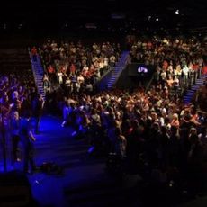
Shirelive Church
2.5 km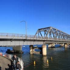
Tom Uglys Bridge
3.3 km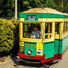
Sydney Tramway Museum
4.3 km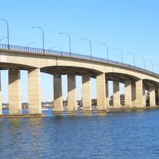
Captain Cook Bridge, New South Wales
4.4 km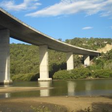
Woronora River Bridge
3 km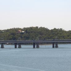
Como railway bridge
2.5 km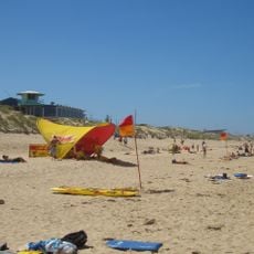
Elouera Beach
8 km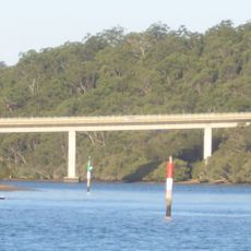
Alfords Point Bridge
6.3 km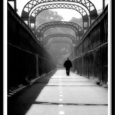
Old Como railway bridge
2.5 km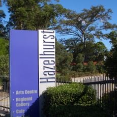
Hazelhurst Regional Gallery and Arts Centre
1.9 km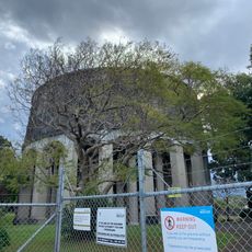
Penshurst Elevated Reservoir No.3
5.5 km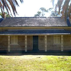
Carss Cottage
4.5 km
Thurlow House
3 km
Green Point Observatory
1.7 km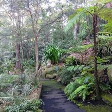
Joseph Banks Native Plants Reserve, Kareela
676 m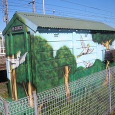
Loftus Junction railway signal box
4.5 km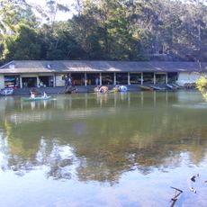
Audley historic recreational complex
7 km
Hurstville
5.8 km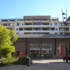
Kogarah Library
7.4 km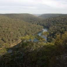
Bungoona Lookout
5.5 km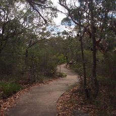
Bungoona Path
5.7 km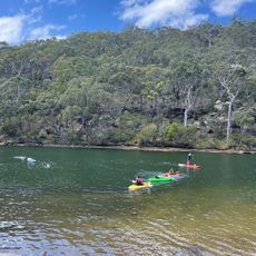
Wants Beach
6.4 km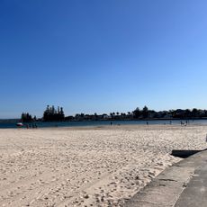
Elephants Back
6.7 km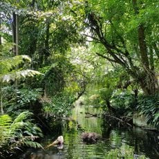
EG Waterhouse National Camellia Gardens
4.1 km
Sans Souci Library
6 km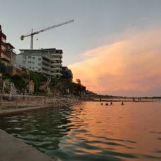
North Cronulla Rock Pool
8 km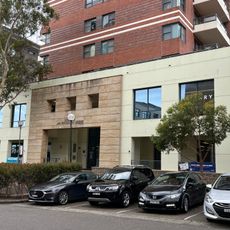
Sutherland Library
2.4 km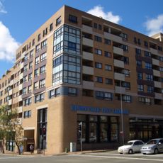
Hurstville Library
6 kmReviews
Visited this place? Tap the stars to rate it and share your experience / photos with the community! Try now! You can cancel it anytime.
Discover hidden gems everywhere you go!
From secret cafés to breathtaking viewpoints, skip the crowded tourist spots and find places that match your style. Our app makes it easy with voice search, smart filtering, route optimization, and insider tips from travelers worldwide. Download now for the complete mobile experience.

A unique approach to discovering new places❞
— Le Figaro
All the places worth exploring❞
— France Info
A tailor-made excursion in just a few clicks❞
— 20 Minutes