Chest opened
+${chestReward.xp} XP
Explorer
NOUVEAU ×${chestReward.collectible.quantity}
tapez pour fermer
Chest locked

Open chests in the app

Around Us is built for your phone — chests unlock when you walk, explore and capture nearby places.

Enable Location

We need your location to show you interesting places around you

Discover nearby places

Find interesting locations and hidden gems around you

Precise directions

Get accurate directions and distances to places

Your location is never shared with other users. It's only used when you tap the location button.

Log in to your account

Start exploring — it's free

Trusted by 72,888 travelers worldwide

Continue with Google
Continue with Apple
or

We will send you a code to connect

By continuing, you accept our Terms and Conditions and our Privacy Policy

Check your inbox

We've sent a pincode in your inbox. Please enter the code below.

Riverwood
Discussion Reviews Photo
13.2k Popularity

Riverwood, Administrative division in Canterbury-Bankstown Council, New South Wales, Australia.

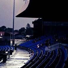
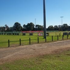
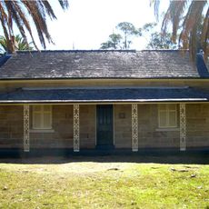
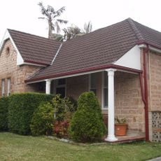
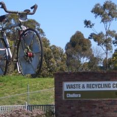
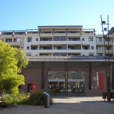
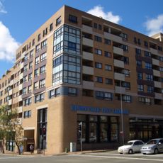
Riverwood is a residential area in the Canterbury-Bankstown Council area of New South Wales with a mix of public and private housing. The neighborhood features various home types and is well-connected by transportation links throughout the region.

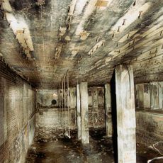
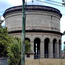
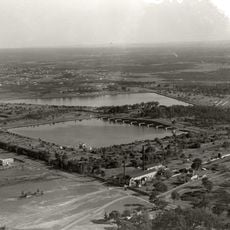
The area was originally known as Herne Bay and housed an American military hospital during World War II. After the war, the military buildings were converted into homes for the public.

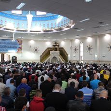
This residential area is home to people from many different countries who shape the character of the neighborhood. You can see this diversity reflected in the local community and how residents interact with shared spaces.

This area is easy to reach by bus and train, making it simple to explore the neighborhood and surrounding regions. The streets are clearly marked and walkable, so you can navigate without difficulty.

Some street names in this neighborhood recall the American military presence from the past and tell the story of this wartime chapter. These historical references remain visible in how the streets are named today.

The community of curious travelers

AroundUs brings together thousands of curated places, local tips, and hidden gems, enriched daily by 60,000 contributors worldwide.

Start exploring
Location
Canterbury-Bankstown Council
GPS coordinates
-33.94722,151.05306
Latest update
December 7, 2025 20:41
Reviews
Share your experience

No review yet

Discussions
Start a discussion...

No discussion yet

« Riverwood - Administrative division in Canterbury-Bankstown Council, New South Wales, Australia » is provided by Around Us (aroundus.com). Images and texts are derived from Wikimedia project under a Creative Commons license. You are allowed to copy, distribute, and modify copies of this page, under the conditions set by the license, as long as this note is clearly visible.

Discover hidden gems everywhere you go!

From secret cafés to breathtaking viewpoints, skip the crowded tourist spots and find places that match your style. Our app makes it easy with voice search, smart filtering, route optimization, and insider tips from travelers worldwide. Download now for the complete mobile experience.

Around Us App Screenshot

A unique approach to discovering new places

Le Figaro

All the places worth exploring

France Info

A tailor-made excursion in just a few clicks

20 Minutes

Around Us
Travel Guide & Maps
Download

Send to your phone

QR Code
1

Open the camera app on your mobile.

2

Point at the QR code with your camera. A notification will appear.

3

Tap the notification to open the link.