
Hazelbrook, village in Australia
Location: Blue Mountains City Council
GPS coordinates: -33.72199,150.45341
Latest update: May 10, 2025 01:53
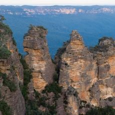
Three Sisters
13 km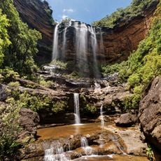
Wentworth Falls
7.5 km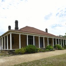
Norman Lindsay Gallery and Museum
11 km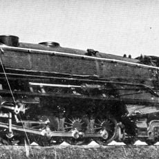
Valley Heights Locomotive Depot Heritage Museum
12 km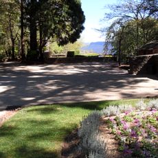
Everglades Gardens
10.8 km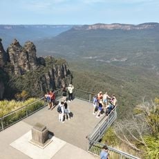
Echo Point
13.2 km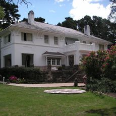
Leuralla
11.4 km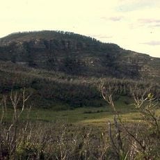
Mount Hay
12 km
Woodford Academy
2.2 km
Bridal Veil Falls, Leura
12.1 km
Mount St Marys College and Convent
13 km
Cox's Road and Early Deviations - Woodford, Appian Way Precinct
3.1 km
Christ Church Anglican Church, Springwood
9.8 km
Yester Grange
7 km
Weatherboard Inn archaelological site
7.5 km
Valley Heights railway gatehouse
12.7 km
Coleraine and Ritla
13.2 km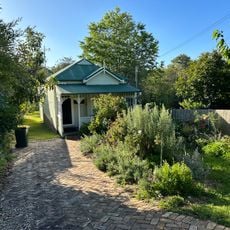
Dorellan
13.1 km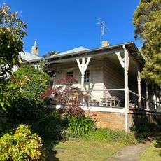
Heather Brae
13.1 km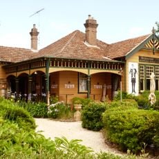
Rubyston
13.1 km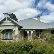
Kiah
13 km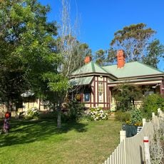
Lorrac
13.1 km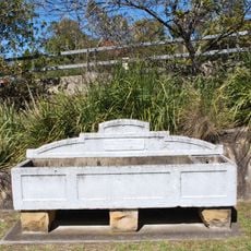
Horse trough
13.5 km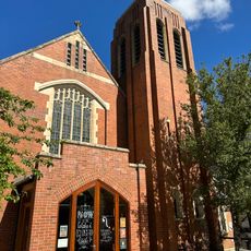
St Hilda's Anglican Church
13.1 km
Steyning
13.1 km
Westroyde
13.2 km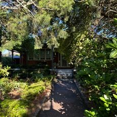
Cathkin Braes
13.2 km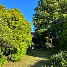
Federation bungalow
13.2 kmReviews
Visited this place? Tap the stars to rate it and share your experience / photos with the community! Try now! You can cancel it anytime.
Discover hidden gems everywhere you go!
From secret cafés to breathtaking viewpoints, skip the crowded tourist spots and find places that match your style. Our app makes it easy with voice search, smart filtering, route optimization, and insider tips from travelers worldwide. Download now for the complete mobile experience.

A unique approach to discovering new places❞
— Le Figaro
All the places worth exploring❞
— France Info
A tailor-made excursion in just a few clicks❞
— 20 Minutes