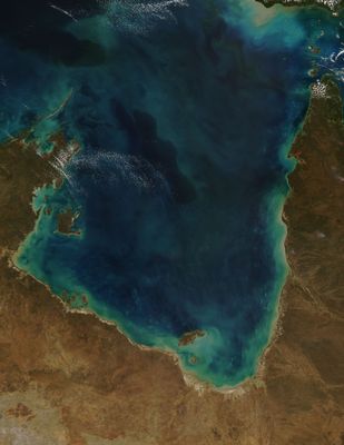
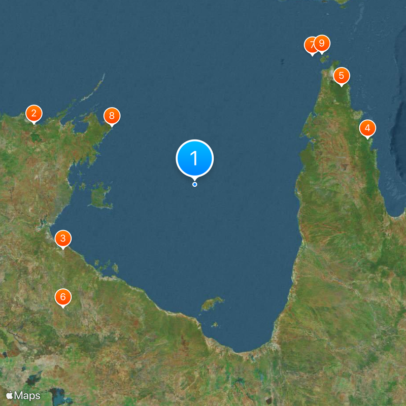
Gulf of Carpentaria, Shallow sea inlet in northern Australia.
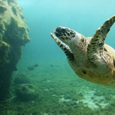
The Gulf of Carpentaria is a shallow sea inlet in northern Australia that stretches between Arnhem Land and the Cape York Peninsula. The waters average 60 m (200 ft) in depth, while more than 20 rivers from the interior create wide deltas along the coast.
Dutch navigator Willem Janszoon reached these waters in 1606 as the first European and mapped parts of the coast. The inlet later took its name from Pieter de Carpentier, who served as governor-general over Dutch territories in Asia.
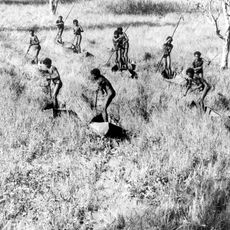
Indigenous communities have lived along these shores for thousands of years, relying on the waters for fishing and seasonal food gathering. Their languages and stories reflect a deep connection to the coastline that continues to shape daily life today.
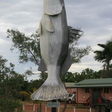
Coastal towns such as Karumba provide access to the waters and serve as starting points for fishing trips and boat excursions. Tropical weather prevails year-round, with a pronounced wet season running from December through March.
The seabed holds large deposits of bauxite and manganese that rest beneath the water and have drawn geological interest over time. Today the shallow waters attract mainly fishers looking for prawns.
Location: Australia
Part of: Arafura Sea
GPS coordinates: -13.75000,139.00000
Latest update: December 13, 2025 19:47
Arafura Swamp
464.2 km
Limmen National Park
392.4 km
Kutini-Payamu National Park
481.5 km
Apudthama National Park
476 km
Cape Crawford
479.9 km
Booby Island Light
472.2 km
Wurrwurrwuy
274.2 km
Goods Island Light
493.3 km
Oyala Thumotang National Park
411.5 km
Piper Islands National Park
488.1 km
Wenlock Goldfield
433.3 km
Burns Philp Building, Normanton
489.8 km
Wuthathi (Saunders Islands) National Park (Cape York Peninsula Aboriginal Land)
496.1 km
Old Westmoreland Homestead
407.7 km
Landsborough Tree
448.2 km
Coen Carrier Station
454.3 km
Normanton Cemetery
490.6 km
Boiling Down Works, Burketown
448.2 km
Normanton Gaol
489.8 km
Burketown Post Office
448.1 km
Ebagoola Township and Battery
464.6 km
Errk Oykangand National Park
386.4 km
Gordon's Mine and Mill
479.7 km
Westpac Bank Building, Normanton
490 km
KULLA (McIlwraith Range) National Park (Cape York Peninsula Aboriginal Land)
475.5 km
Finucane Island National Park
440.1 km
Green Hill Fort Coastal Artillery
496.3 km
Big Barramundi
490.1 kmVisited this place? Tap the stars to rate it and share your experience / photos with the community! Try now! You can cancel it anytime.
Discover hidden gems everywhere you go!
From secret cafés to breathtaking viewpoints, skip the crowded tourist spots and find places that match your style. Our app makes it easy with voice search, smart filtering, route optimization, and insider tips from travelers worldwide. Download now for the complete mobile experience.
A unique approach to discovering new places❞
— Le Figaro
All the places worth exploring❞
— France Info
A tailor-made excursion in just a few clicks❞
— 20 Minutes