Hawaii Volcanoes Wilderness, Wilderness area in Hawaii County, United States
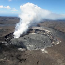
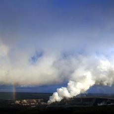
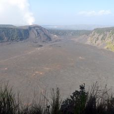
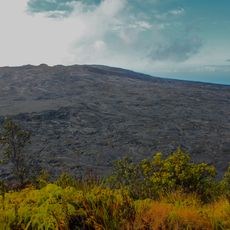
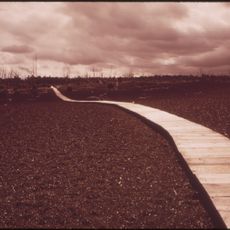
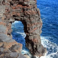
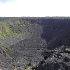
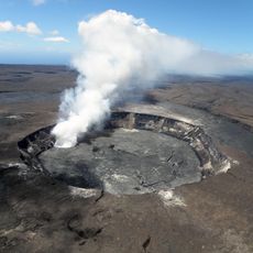
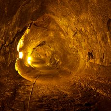
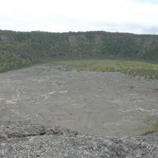
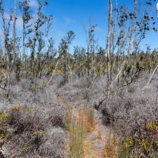
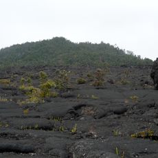
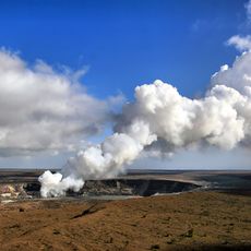
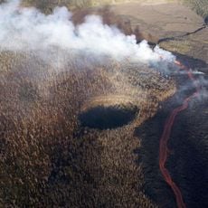
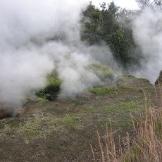
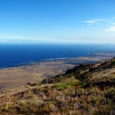
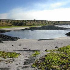
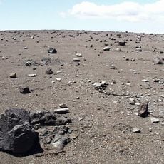
Hawaii Volcanoes Wilderness encompasses a vast protected area with active volcanic peaks, ranging from coastal regions to high-elevation zones. The landscape displays diverse geological features including lava flows, volcanic cones, and varied ecosystems shaped by ongoing volcanic activity.
The wilderness area was designated in 1978, covering about 130,790 acres, including the summit of Mauna Loa at Mokuaweoweo. The national park itself dates from August 1, 1916, when Woodrow Wilson signed the bill creating Hawaii National Park, later split into Hawaiʻi Volcanoes and Haleakalā. In 1980 the park became an International Biosphere Reserve and in 1987 a World Heritage Site.
Kīlauea and its Halemaʻumaʻu caldera were traditionally considered the sacred home of the volcano goddess Pele, and Hawaiians visited the crater to offer gifts to her. The name Kīlauea means "much spreading", referring to how often it erupts, while Mauna Loa means "long mountain". In 1790 a party of warriors, women and children was caught in a violent eruption; many died and their footprints remain in the lava.
The main entrance is off the Hawaii Belt Road, and Chain of Craters Road runs to the coast past craters from historic eruptions; its continuation beyond the lava flow is kept as an emergency evacuation route only. The Kahuku District is reached via Kahuku Road off Highway 11 near mile marker 70. Some road segments and trails remain closed, so check current conditions before setting out.
Visitors can witness earth formation in real time, as active volcanoes continuously create new land from flowing molten rock. This ongoing geological transformation offers a rare chance to see how our planet reshapes itself over days and months rather than millennia.
The community of curious travelers
AroundUs brings together thousands of curated places, local tips, and hidden gems, enriched daily by 92,890 contributors worldwide.