Enable Location

We need your location to show you interesting places around you

Discover nearby places

Find interesting locations and hidden gems around you

Precise directions

Get accurate directions and distances to places

Your location is never shared with other users. It's only used when you tap the location button.

Kuskokwim River

Log in to your account

Start exploring — it's free

Trusted by 68,737 travelers worldwide

Continue with Google
Continue with Apple
or

We will send you a code to connect

By continuing, you accept our Terms and Conditions and our Privacy Policy

Check your inbox

We've sent a pincode in your inbox. Please enter the code below.

Kuskokwim River
Discussion Reviews 1 Photos
12.1k Popularity

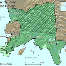
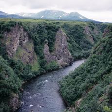
Kuskokwim River, River system in southwest Alaska, United States

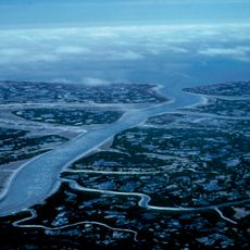
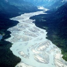
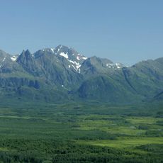
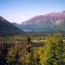
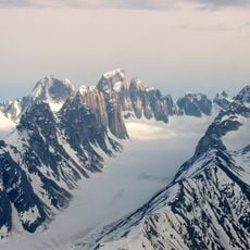
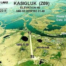
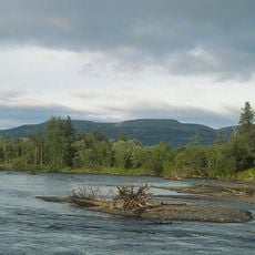
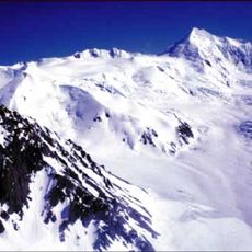
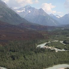
The Kuskokwim is a river system in southwest Alaska flowing from the interior mountains to the Bering Sea through varied terrain. It winds through forests and tundra, serving as a major travel route for local communities.

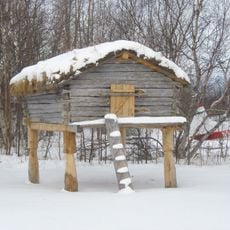
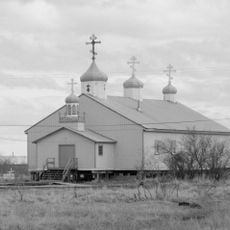
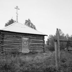
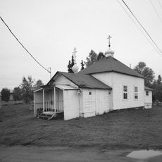
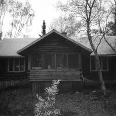
Indigenous groups including Yup'ik and Athabaskan peoples settled along the banks in ancient times, relying on the river for travel and food. These long traditions of settlement continue to shape the region today.

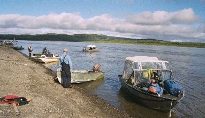
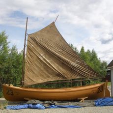
The communities along the river depend on fishing for salmon and whitefish, practices that remain woven into daily life and seasonal rhythms. These activities connect people to the land and water in ways that shape how they live.

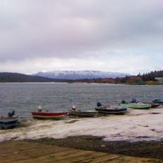
The frozen surface in winter becomes a natural ice road connecting communities when thick enough to travel on. Spring and summer offer easier boat access for visiting the area and exploring nearby settlements.

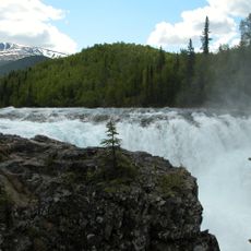
The river is the longest river system contained entirely within Alaska and ranks among the top U.S. rivers for water discharge. Its sheer volume of flow makes it one of the state's most powerful natural features.

The community of curious travelers

AroundUs brings together thousands of curated places, local tips, and hidden gems, enriched daily by 60,000 contributors worldwide.

Start exploring
GPS coordinates
61.79270,-158.17998
Latest update
December 7, 2025 20:47
Around this place
Yukon Delta National Wildlife Refuge
United States of America

Yukon Delta National Wildlife Refuge

271.6 km
Wood-Tikchik State Park
United States of America

Wood-Tikchik State Park

197 km
Tlikakila River
United States of America

Tlikakila River

290 km
Togiak National Wildlife Refuge
United States of America

Togiak National Wildlife Refuge

296.3 km
Innoko National Wildlife Refuge
United States of America

Innoko National Wildlife Refuge

171.9 km
Kichatna Spire
United States of America

Kichatna Spire

292.6 km
Togiak Wilderness
United States of America

Togiak Wilderness

264 km
Kijik
United States of America

Kijik

271.2 km
Innoko Wilderness
United States of America

Innoko Wilderness

143 km
Unalakleet River
United States of America

Unalakleet River

260.3 km
Libby's No. 23
United States of America

Libby's No. 23

273.6 km
Christ Church Mission
United States of America

Christ Church Mission

142.1 km
Shadows Glacier
United States of America

Shadows Glacier

294.7 km
Wassillie Trefon Dena'ina Fish Cache
United States of America

Wassillie Trefon Dena'ina Fish Cache

273.6 km
St. Jacob's Church
United States of America

St. Jacob's Church

226.6 km
Sts. Constantine and Helen Chapel
United States of America

Sts. Constantine and Helen Chapel

153.4 km
St. Seraphim Chapel
United States of America

St. Seraphim Chapel

119.3 km
Cul-de-sac Glacier
United States of America

Cul-de-sac Glacier

291.1 km
Presentation of Our Lord Chapel
United States of America

Presentation of Our Lord Chapel

245.1 km
Dr. Elmer Bly House
United States of America

Dr. Elmer Bly House

273.8 km
Bureau of Indian Affairs Unalakleet School
United States of America

Bureau of Indian Affairs Unalakleet School

266.5 km
Kijik Archeological District
United States of America

Kijik Archeological District

269.7 km
Johnson River
United States of America

Johnson River

192.2 km
Kemuk River
United States of America

Kemuk River

265.2 km
Kwethluk River
United States of America

Kwethluk River

209.7 km
Hayes Glacier
United States of America

Hayes Glacier

298.1 km
Tanalian River
United States of America

Tanalian River

275.2 km
Currant Creek
United States of America

Currant Creek

291.6 km
Show the full map
Reviews
Share your experience

No review yet

Discussions
Start a discussion...

No discussion yet

« Kuskokwim River - River system in southwest Alaska, United States » is provided by Around Us (aroundus.com). Images and texts are derived from Wikimedia project under a Creative Commons license. You are allowed to copy, distribute, and modify copies of this page, under the conditions set by the license, as long as this note is clearly visible.

Discover hidden gems everywhere you go!

From secret cafés to breathtaking viewpoints, skip the crowded tourist spots and find places that match your style. Our app makes it easy with voice search, smart filtering, route optimization, and insider tips from travelers worldwide. Download now for the complete mobile experience.

Around Us App Screenshot

A unique approach to discovering new places

Le Figaro

All the places worth exploring

France Info

A tailor-made excursion in just a few clicks

20 Minutes

Around Us
Travel Guide & Maps
Download

Send to your phone

QR Code
1

Open the camera app on your mobile.

2

Point at the QR code with your camera. A notification will appear.

3

Tap the notification to open the link.