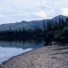
Unalakleet River, Brook in Kaltag Mountains, Alaska, US.
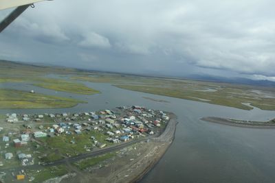
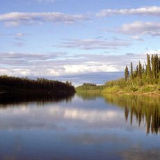
The Unalakleet River flows southwest roughly 90 miles from the Kaltag Mountains through rolling terrain in the Nulato Hills toward Norton Sound on the Bering Sea coast. The river carves through a mix of forested areas and open landscape that defines this region's character.
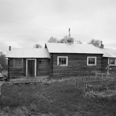
In the 1830s the Russian-American Company established trading posts at St. Michael and Unalakleet, bringing the region its first official European documentation. This trading activity introduced outside contact to an area that had been home to Inupiat communities for generations.
The name comes from the Inupiat language meaning 'place where the east wind blows', reflecting the deep roots of indigenous communities in this region. The river landscape remains central to how local people connect with their environment and heritage.
The river offers excellent fishing opportunities during seasonal runs with Chinook, coho, pink, and chum salmon as well as Arctic grayling and char. Plan your visit during warmer months when the river is more accessible and fishing conditions are typically better.
The upper roughly 80 miles received protection in 1980 as part of the National Wild and Scenic Rivers System. This designation significantly limits commercial development and helps preserve the river's natural ecology for the long term.
The community of curious travelers
AroundUs brings together thousands of curated places, local tips, and hidden gems, enriched daily by 60,000 contributors worldwide.