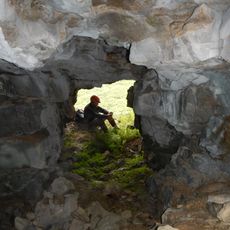
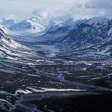
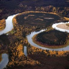
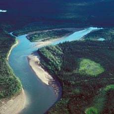
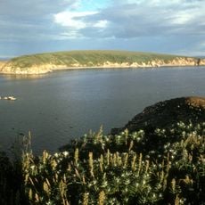
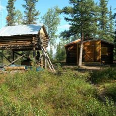
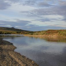
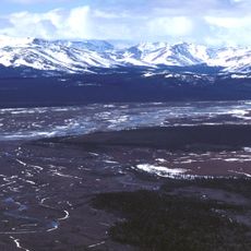
Selawik National Wildlife Refuge, National Wildlife Refuge at Arctic Circle, Alaska.
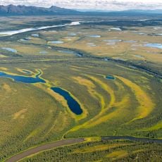
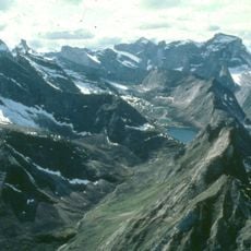
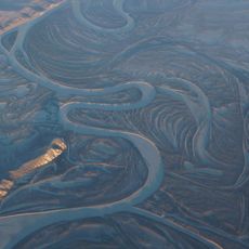
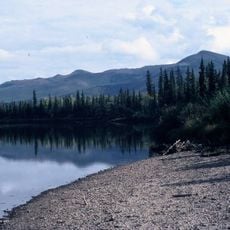
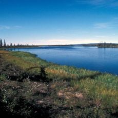
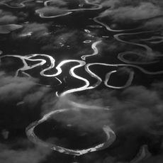
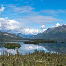
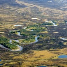
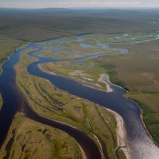
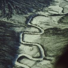
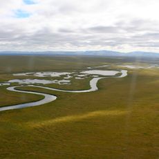
Selawik National Wildlife Refuge covers about 3,400 square miles (8,700 km2) on the Arctic Circle, east of Kotzebue Sound, bounded by the Waring Mountains and Kobuk Valley National Park to the north and the Selawik Hills and Purcell Mountains to the south. Its lowlands hold roughly 21,000 lakes, with alpine and arctic tundra, taiga, river deltas and vegetated sand dunes left by retreating glaciers.
Selawik National Wildlife Refuge was officially established in 1980 when the Alaska National Interest Lands Conservation Act (ANILCA) was passed. The same act placed 240,000 acres in the northern part of the refuge within the National Wilderness Preservation System as the Selawik Wilderness. The refuge is administered from offices in Kotzebue and lies partly in the Northwest Arctic Borough and partly in the Yukon-Koyukuk Census Area.
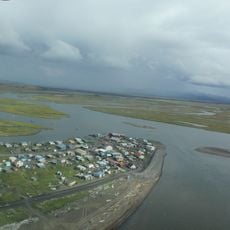
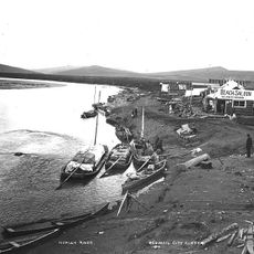
The refuge lies in Iñupiat territory, and the Selawik and Kobuk river deltas on the eastern shores of Selawik Lake and Hotham Inlet are used for subsistence hunting and fishing. The refuge was created in 1980 partly to protect caribou, salmon, sheefish (nelma) and waterfowl habitat that these activities depend on.
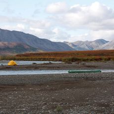
The refuge is administered from offices in Kotzebue, and no roads reach its lands; access is by air or boat. The 240,000-acre Selawik Wilderness in the north has no trails or facilities, making entry there quite difficult. Plan for remote conditions and few services.
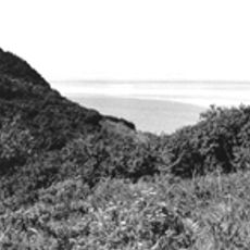
The rolling, vegetated sand dunes in the refuge are what remains of a much larger dune system that once reached the Great Kobuk Sand Dunes to the north; they formed as the last glaciers retreated. The lowlands also hold roughly 21,000 lakes, one of the largest Arctic tundra lake complexes.
The community of curious travelers
AroundUs brings together thousands of curated places, local tips, and hidden gems, enriched daily by 94,164 contributors worldwide.