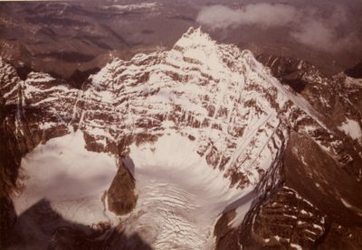
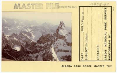
Mount Igikpak, Mountain summit in Gates of the Arctic National Park, USA
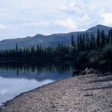
Mount Igikpak is a mountain summit in northern Alaska that rises to 2,523 meters in the Schwatka Mountains section of the Brooks Range. The peak sits within Gates of the Arctic National Park and stands as the highest point in this remote mountainous area.
The first recorded ascent happened on August 9, 1968, when climbers David Roberts, Chuck Loucks, and Al De Maria reached the summit. This expedition documented one of the early mountaineering efforts in this remote region of the Brooks Range.
The name Igikpak comes from the Iñupiaq language, meaning 'large mountain', and holds deep meaning for indigenous communities of the region. Local people have long recognized this peak as a landmark that shapes how they understand and move through the landscape.
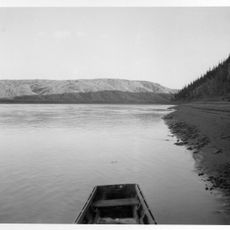
Access requires advance planning and arrangement of bush plane services, as there are no roads to reach this location. Visitors must contact Gates of the Arctic National Park beforehand to understand conditions and obtain any required permits.
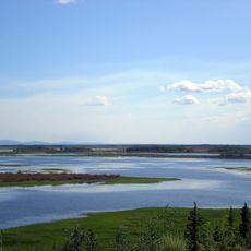
The mountain sits near the source of the Noatak River and marks an important geographic point in the region. Its geological formations stand out distinctly from surrounding peaks, making it a visual anchor point in the landscape.
The community of curious travelers
AroundUs brings together thousands of curated places, local tips, and hidden gems, enriched daily by 60,000 contributors worldwide.