Enable Location

We need your location to show you interesting places around you

Discover nearby places

Find interesting locations and hidden gems around you

Precise directions

Get accurate directions and distances to places

Your location is never shared with other users. It's only used when you tap the location button.

Togiak National Wildlife Refuge

Log in to your account

Start exploring — it's free

Trusted by 63,295 travelers worldwide

Continue with Google
Continue with Apple
or

We will send you a code to connect

By continuing, you accept our Terms and Conditions and our Privacy Policy

Check your inbox

We've sent a pincode in your inbox. Please enter the code below.

Togiak National Wildlife Refuge
Discussion Reviews 1 Photos
3.1k Popularity

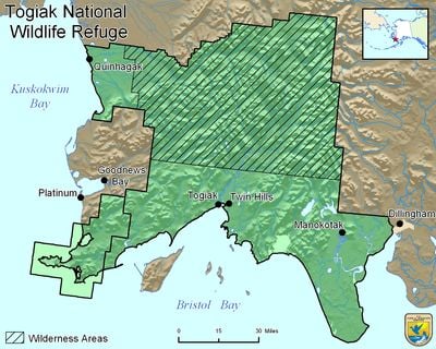
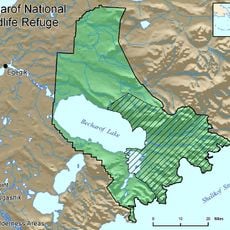
Togiak National Wildlife Refuge, National Wildlife Refuge in southwestern Alaska.

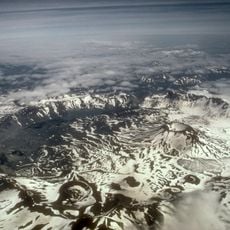
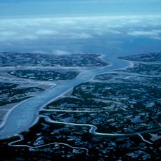
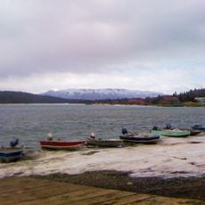
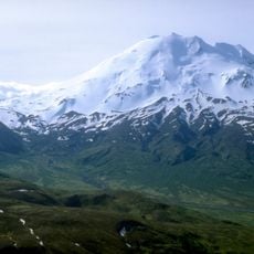
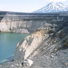
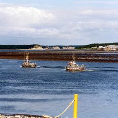
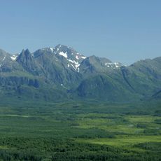
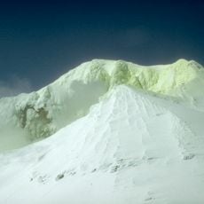
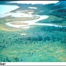
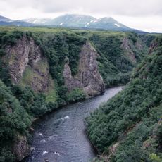
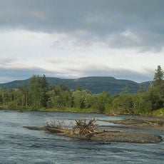
Togiak National Wildlife Refuge is a vast protected area in southwestern Alaska encompassing tundra, rivers, lakes, and extensive coastline. The terrain stretches from Bristol Bay to the Ahklun Mountains and provides diverse habitats for wildlife.

The refuge was established in 1968 and expanded significantly through the Alaska National Interest Lands Conservation Act in 1980. This expansion transformed it into one of the nation's largest wilderness areas.

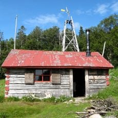
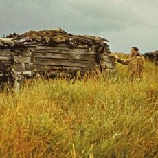
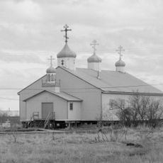
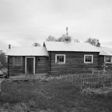
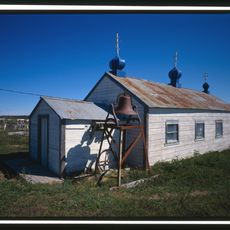
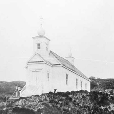
Indigenous peoples have lived in this region for millennia, maintaining traditional practices and a deep bond with the land that shapes the area even today. Their presence and way of life remain interwoven with the refuge.

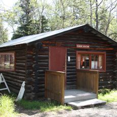
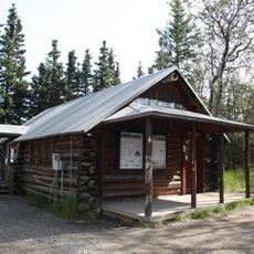
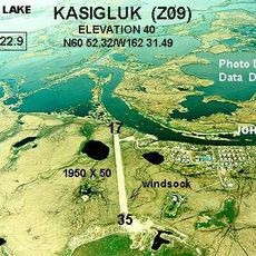
Access is primarily by aircraft since no roads reach the region. Visitors should be prepared for unpredictable weather and limited facilities, and hiring local guides helps ensure safe navigation.

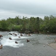
The refuge hosts an extraordinary diversity of wildlife with dozens of mammal species and hundreds of bird species. It also serves as a critical migration corridor for massive traveling herds that pass through seasonally.

The community of curious travelers

AroundUs brings together thousands of curated places, local tips, and hidden gems, enriched daily by 60,000 contributors worldwide.

Start exploring
Location
Inception
December 2, 1980
GPS coordinates
59.33330,-160.25100
Latest update
December 12, 2025 09:07
Around this place
Brooks Falls
United States of America

Brooks Falls

270.3 km
Mount Aniakchak
United States of America

Mount Aniakchak

295.7 km
Aniakchak National Monument and Preserve
United States of America

Aniakchak National Monument and Preserve

298.6 km
Yukon Delta National Wildlife Refuge
United States of America

Yukon Delta National Wildlife Refuge

240 km
Fure's Cabin
United States of America

Fure's Cabin

286.2 km
Wood-Tikchik State Park
United States of America

Wood-Tikchik State Park

118 km
Mount Chiginagak
United States of America

Mount Chiginagak

310.5 km
Ukinrek Maars
United States of America

Ukinrek Maars

273.9 km
Naknek River
United States of America

Naknek River

215.7 km
Becharof National Wildlife Refuge
United States of America

Becharof National Wildlife Refuge

275 km
United States of America

Becharof Wilderness

309.2 km
Togiak Wilderness
United States of America

Togiak Wilderness

33.9 km
Mount Martin
United States of America

Mount Martin

310.9 km
Old Savonoski Site
United States of America

Old Savonoski Site

301.5 km
Brooks River Archeological District
United States of America

Brooks River Archeological District

270.9 km
Ugashik River
United States of America

Ugashik River

262.4 km
Elevation of Holy Cross Church
United States of America

Elevation of Holy Cross Church

198.4 km
Brooks Camp Boat House
United States of America

Brooks Camp Boat House

271 km
St. Jacob's Church
United States of America

St. Jacob's Church

174.6 km
Brooks River Historic Ranger Station
United States of America

Brooks River Historic Ranger Station

271.1 km
St. Seraphim Chapel
United States of America

St. Seraphim Chapel

242.7 km
St. John the Baptist Chapel
United States of America

St. John the Baptist Chapel

197.5 km
Transfiguration of Our Lord Chapel
United States of America

Transfiguration of Our Lord Chapel

109.4 km
St. Nicholas Church
United States of America

St. Nicholas Church

311 km
Johnson River
United States of America

Johnson River

243.1 km
Kemuk River
United States of America

Kemuk River

33.1 km
Kwethluk River
United States of America

Kwethluk River

113.1 km
Brooks Camp Visitor Center
United States of America

Brooks Camp Visitor Center

271 km
Show the full map
Reviews
Share your experience

No review yet

Discussions
Start a discussion...

No discussion yet

« Togiak National Wildlife Refuge - National Wildlife Refuge in southwestern Alaska » is provided by Around Us (aroundus.com). Images and texts are derived from Wikimedia project under a Creative Commons license. You are allowed to copy, distribute, and modify copies of this page, under the conditions set by the license, as long as this note is clearly visible.

Discover hidden gems everywhere you go!

From secret cafés to breathtaking viewpoints, skip the crowded tourist spots and find places that match your style. Our app makes it easy with voice search, smart filtering, route optimization, and insider tips from travelers worldwide. Download now for the complete mobile experience.

Around Us App Screenshot

A unique approach to discovering new places

Le Figaro

All the places worth exploring

France Info

A tailor-made excursion in just a few clicks

20 Minutes

Around Us
Travel Guide & Maps
Download

Send to your phone

QR Code
1

Open the camera app on your mobile.

2

Point at the QR code with your camera. A notification will appear.

3

Tap the notification to open the link.