Enable Location

We need your location to show you interesting places around you

Discover nearby places

Find interesting locations and hidden gems around you

Precise directions

Get accurate directions and distances to places

Your location is never shared with other users. It's only used when you tap the location button.

Ugashik River

Log in to your account

Start exploring — it's free

Trusted by 62,964 travelers worldwide

Continue with Google
Continue with Apple
or

We will send you a code to connect

By continuing, you accept our Terms and Conditions and our Privacy Policy

Check your inbox

We've sent a pincode in your inbox. Please enter the code below.

Ugashik River
Discussion Reviews 1 Photos
1.2k Popularity

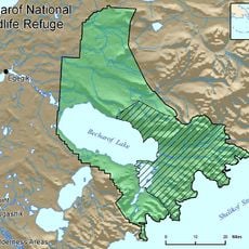
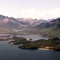
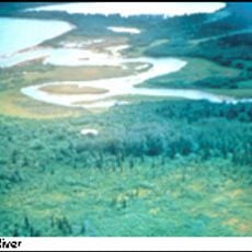
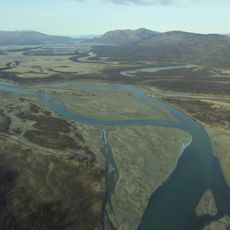
Ugashik River, Brook in Lake and Peninsula, United States.

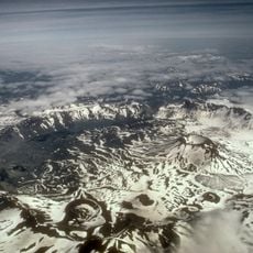
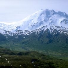
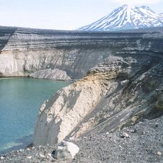
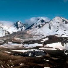
Ugashik River is a waterway in Lake and Peninsula that flows from an inland lake through remote terrain to reach the coast. The channel moves through a largely undeveloped landscape with sparse human settlement.

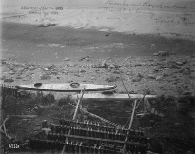
The name comes from earlier forms that reflected the land and water features of the area. Indigenous peoples shaped the region long before outside influence arrived.

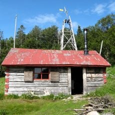
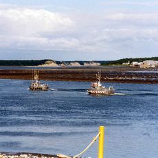
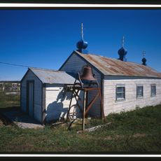
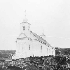
Local communities have depended on the river for food and travel for countless generations. Today, the waterway remains central to how people in the region live and work.

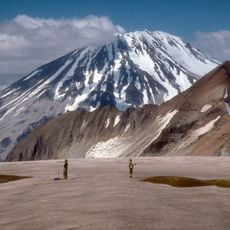
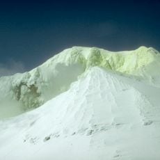
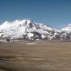
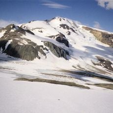
The location is isolated and requires flying or boating to reach it. Visitors should prepare for cold water and changeable weather conditions.

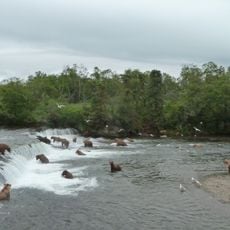
Two major tributaries merge near the mouth and create especially productive fishing areas. This meeting point is known for its rich fish populations and draws fishers from the surrounding region.

The community of curious travelers

AroundUs brings together thousands of curated places, local tips, and hidden gems, enriched daily by 60,000 contributors worldwide.

Start exploring
GPS coordinates
57.58015,-157.23839
Latest update
December 14, 2025 18:46
Around this place
Novarupta
United States of America

Novarupta

144.7 km
Mount Katmai
United States of America

Mount Katmai

155.6 km
Brooks Falls
United States of America

Brooks Falls

138 km
Mount Aniakchak
United States of America

Mount Aniakchak

95.1 km
Aniakchak National Monument and Preserve
United States of America

Aniakchak National Monument and Preserve

91.9 km
Fure's Cabin
United States of America

Fure's Cabin

161.5 km
Mount Chiginagak
United States of America

Mount Chiginagak

51.9 km
Mount Griggs
United States of America

Mount Griggs

152.9 km
Ukinrek Maars
United States of America

Ukinrek Maars

51.6 km
Trident Volcano
United States of America

Trident Volcano

145.8 km
Naknek River
United States of America

Naknek River

126.7 km
Becharof National Wildlife Refuge
United States of America

Becharof National Wildlife Refuge

75 km
United States of America

Becharof Wilderness

101.3 km
Mount Martin
United States of America

Mount Martin

129.2 km
Mount Mageik
United States of America

Mount Mageik

135.9 km
Amalik Bay Archeological District
United States of America

Amalik Bay Archeological District

176 km
Old Savonoski Site
United States of America

Old Savonoski Site

154.7 km
Snowy Mountain
United States of America

Snowy Mountain

172.5 km
Brooks River Archeological District
United States of America

Brooks River Archeological District

137.8 km
Elevation of Holy Cross Church
United States of America

Elevation of Holy Cross Church

127.1 km
Brooks Camp Boat House
United States of America

Brooks Camp Boat House

138.7 km
Brooks River Historic Ranger Station
United States of America

Brooks River Historic Ranger Station

138.7 km
St. John the Baptist Chapel
United States of America

St. John the Baptist Chapel

128.5 km
Transfiguration of Our Lord Chapel
United States of America

Transfiguration of Our Lord Chapel

169 km
St. Nicholas Church
United States of America

St. Nicholas Church

77.3 km
Savonoski River
United States of America

Savonoski River

177.2 km
Brooks Camp Visitor Center
United States of America

Brooks Camp Visitor Center

138.5 km
Brooks Camp Campground
United States of America

Brooks Camp Campground

138.6 km
Show the full map
Reviews
Share your experience

No review yet

Discussions
Start a discussion...

No discussion yet

« Ugashik River - Brook in Lake and Peninsula, United States » is provided by Around Us (aroundus.com). Images and texts are derived from Wikimedia project under a Creative Commons license. You are allowed to copy, distribute, and modify copies of this page, under the conditions set by the license, as long as this note is clearly visible.

Discover hidden gems everywhere you go!

From secret cafés to breathtaking viewpoints, skip the crowded tourist spots and find places that match your style. Our app makes it easy with voice search, smart filtering, route optimization, and insider tips from travelers worldwide. Download now for the complete mobile experience.

Around Us App Screenshot

A unique approach to discovering new places

Le Figaro

All the places worth exploring

France Info

A tailor-made excursion in just a few clicks

20 Minutes

Around Us
Travel Guide & Maps
Download

Send to your phone

QR Code
1

Open the camera app on your mobile.

2

Point at the QR code with your camera. A notification will appear.

3

Tap the notification to open the link.